Area Overview for LE14 4BN
Photos of LE14 4BN
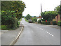
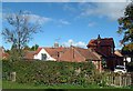
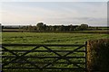
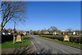
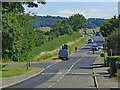
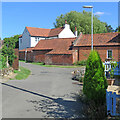
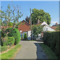
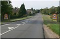
22 photos from this area
Area Information
Key information about the LE14 4BN including its size, population, and administrative classification.
- Area Type
- Postcode
- Area Size
- 9.3 hectares
- Population
- 1344
- Population Density
- 78 people/km²
House Prices in LE14 4BN
39
Properties
£315,644
Average Sold Price
£82,000
Lowest Price
£795,000
Highest Price
Showing 39 properties
| Address | Type | Beds | Baths | Last Sale Price | Last Sale Date | |
|---|---|---|---|---|---|---|
| Wainey Edge, 14 Main Street, Harby, LE14 4BN | Detached | 3 | 2 | £440,000 | Apr 2024 | |
| The Old Barn, Main Street, Harby, LE14 4BN | Detached | 5 | 2 | £795,000 | Sep 2021 | |
| 11 Main Street, Harby, LE14 4BN | house | 2 | - | £465,000 | Sep 2021 | |
| Wagoners Lodge, 16 Main Street, Harby, LE14 4BN | house | - | - | £336,500 | Sep 2021 | |
| 37 Main Street, Harby, LE14 4BN | Semi-detached | 4 | - | £452,500 | May 2021 | |
| Spinney Lodge, 15 Main Street, Harby, LE14 4BN | Bungalow | 3 | 1 | £325,000 | Jun 2020 | |
| 33 Main Street, Harby, LE14 4BN | Cottage | 3 | 1 | £205,000 | Apr 2020 | |
| 26 Main Street, Harby, LE14 4BN | Semi-detached | 3 | 2 | £214,000 | Jan 2020 | |
| 30 Main Street, Harby, LE14 4BN | Semi-detached | 3 | 1 | £220,000 | Aug 2019 | |
| Ashcombe, 1 Main Street, Harby, LE14 4BN | Detached | 3 | 1 | £363,750 | Apr 2019 |
Page 1 of 4
Energy Efficiency in LE14 4BN
Amenities
Schools
| Rank | School | Type | Entry gender | Ages |
|---|
Explore more schools in this area
Go to Schools tabDemographics
Household Size
Two person
most common
Accommodation Type
Houses
most common
Tenure
73
majority
Ethnic Group
White
most common
Religion
N/A
most common
Household Composition
N/A
most common
Age
47
median
Adults (30-64 years)
most common
Household Deprivation
N/A
with no deprivation
NS-SEC
37
in Lower managerial occupations
Explore more demographic insights in this area
Go to Demographics tabPlanning
Planning Constraints
- Flood RiskPremium
- Ramsar Wetland SitesPremium
- Area of Outstanding Natural BeautyPremium
- Protected Nature ReservePremium
- Protected WoodlandPremium