Area Overview for LE14 3XY
Photos of LE14 3XY
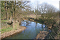
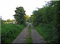
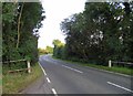
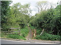
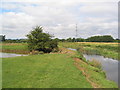
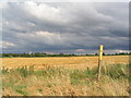
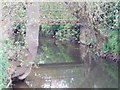
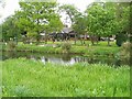

48 photos from this area
Area Information
Key information about the LE14 3XY including its size, population, and administrative classification.
- Area Type
- Postcode
- Area Size
- 30.8 hectares
- Population
- 1886
- Population Density
- 38 people/km²
House Prices in LE14 3XY
67
Properties
£243,267
Average Sold Price
£146,255
Lowest Price
£440,000
Highest Price
Showing 67 properties
| Address | Type | Beds | Baths | Last Sale Price | Last Sale Date | |
|---|---|---|---|---|---|---|
| 39 Leah Way, Asfordby, LE14 3XY | house | - | - | £320,750 | Mar 2025 | |
| 11 Leah Way, Asfordby, LE14 3XY | house | - | - | £227,000 | Feb 2025 | |
| 3 Leah Way, Asfordby, LE14 3XY | house | - | - | £226,000 | Feb 2025 | |
| 72 Leah Way, Asfordby, LE14 3XY | Semi-detached | 2 | 1 | £220,000 | Jan 2025 | |
| 23 Leah Way, Asfordby, LE14 3XY | house | - | - | £230,000 | Aug 2024 | |
| 5 Leah Way, Asfordby, LE14 3XY | Semi-detached | 3 | 2 | £240,000 | Jul 2024 | |
| 25 Leah Way, Asfordby, LE14 3XY | house | - | - | £210,500 | May 2024 | |
| 9 Leah Way, Asfordby, LE14 3XY | house | - | - | £230,000 | Feb 2024 | |
| 54 Leah Way, Asfordby, LE14 3XY | house | - | - | £220,000 | Dec 2023 | |
| 57 Leah Way, Asfordby, LE14 3XY | house | - | - | £271,950 | Nov 2023 |
Page 1 of 7
Energy Efficiency in LE14 3XY
Amenities
Schools
| Rank | School | Type | Entry gender | Ages |
|---|
Explore more schools in this area
Go to Schools tabDemographics
Household Size
Two person
most common
Accommodation Type
Houses
most common
Tenure
82
majority
Ethnic Group
White
most common
Religion
N/A
most common
Household Composition
N/A
most common
Age
47
median
Adults (30-64 years)
most common
Household Deprivation
N/A
with no deprivation
NS-SEC
46
in Lower managerial occupations
Explore more demographic insights in this area
Go to Demographics tabPlanning
Planning Constraints
- Flood RiskPremium
- Ramsar Wetland SitesPremium
- Area of Outstanding Natural BeautyPremium
- Protected Nature ReservePremium
- Protected WoodlandPremium