Area Overview for LE14 3SQ
Photos of LE14 3SQ
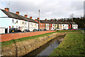
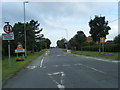
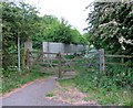
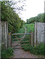
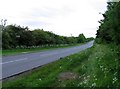
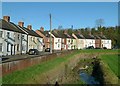
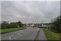
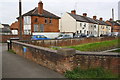
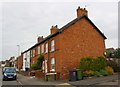
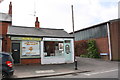
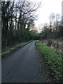
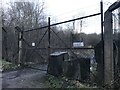
39 photos from this area
Area Information
Key information about the LE14 3SQ including its size, population, and administrative classification.
- Area Type
- Postcode
- Area Size
- 2.8 hectares
- Population
- 1726
- Population Density
- 234 people/km²
House Prices in LE14 3SQ
29
Properties
£146,434
Average Sold Price
£71,950
Lowest Price
£299,950
Highest Price
Showing 29 properties
| Address | Type | Beds | Baths | Last Sale Price | Last Sale Date | |
|---|---|---|---|---|---|---|
| 7 North Street, Asfordby Valley, LE14 3SQ | Terraced | 2 | 1 | £156,000 | May 2025 | |
| 33 North Street, Asfordby Valley, LE14 3SQ | house | 4 | 2 | £299,950 | Jan 2025 | |
| 13 North Street, Asfordby Valley, LE14 3SQ | Semi-detached | 2 | 1 | £162,500 | Jul 2024 | |
| 3 North Street, Asfordby Valley, LE14 3SQ | house | - | - | £200,000 | Jul 2024 | |
| 3A North Street, Asfordby Valley, LE14 3SQ | Semi-detached | 3 | 1 | £169,000 | May 2024 | |
| 6 North Street, Asfordby Valley, LE14 3SQ | Terraced | 2 | 1 | £155,000 | Dec 2023 | |
| 12 North Street, Asfordby Valley, LE14 3SQ | house | 2 | - | £175,000 | Dec 2022 | |
| 2 North Street, Asfordby Valley, LE14 3SQ | Terraced | 2 | 1 | £145,000 | Nov 2021 | |
| 23 North Street, Asfordby Valley, LE14 3SQ | house | - | - | £179,000 | Aug 2021 | |
| 16 North Street, Asfordby Valley, LE14 3SQ | Terraced | 2 | 1 | £150,000 | Sep 2019 |
Page 1 of 3
Energy Efficiency in LE14 3SQ
Amenities
Schools
| Rank | School | Type | Entry gender | Ages |
|---|
Explore more schools in this area
Go to Schools tabDemographics
Household Size
One person
most common
Accommodation Type
Houses
most common
Tenure
67
majority
Ethnic Group
White
most common
Religion
N/A
most common
Household Composition
N/A
most common
Age
47
median
Adults (30-64 years)
most common
Household Deprivation
N/A
with no deprivation
NS-SEC
27
in Lower managerial occupations
Explore more demographic insights in this area
Go to Demographics tabPlanning
Planning Constraints
- Flood RiskPremium
- Ramsar Wetland SitesPremium
- Area of Outstanding Natural BeautyPremium
- Protected Nature ReservePremium
- Protected WoodlandPremium