Area Overview for LE14 3BZ
Photos of LE14 3BZ
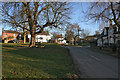
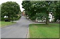
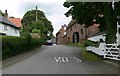
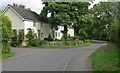
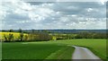
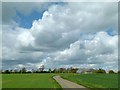
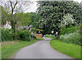
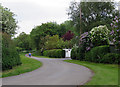
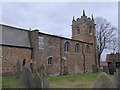
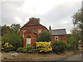
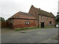
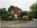
70 photos from this area
Area Information
Key information about the LE14 3BZ including its size, population, and administrative classification.
- Area Type
- Postcode
- Area Size
- 70.5 hectares
- Population
- 1886
- Population Density
- 38 people/km²
House Prices in LE14 3BZ
62
Properties
£303,104
Average Sold Price
£50,000
Lowest Price
£870,000
Highest Price
Showing 62 properties
| Address | Type | Beds | Baths | Last Sale Price | Last Sale Date | |
|---|---|---|---|---|---|---|
| 49 Main Street, Grimston, LE14 3BZ | house | - | - | £271,000 | May 2024 | |
| The Lilacs, 35 Main Street, Grimston, LE14 3BZ | house | 5 | 4 | £870,000 | Oct 2022 | |
| Hill House, 73 Main Street, Grimston, LE14 3BZ | house | - | - | £510,000 | Dec 2021 | |
| 51 Main Street, Grimston, LE14 3BZ | house | - | - | £235,000 | Sep 2021 | |
| The Spring House, 5 Main Street, Grimston, LE14 3BZ | Detached | 3 | 1 | £261,000 | Mar 2020 | |
| 69 Main Street, Grimston, LE14 3BZ | Semi-detached | 3 | 1 | £150,000 | Jun 2019 | |
| Wesley House, 25 Main Street, Grimston, LE14 3BZ | Detached | 4 | 2 | £390,000 | Oct 2018 | |
| Cedar Lodge, 27 Main Street, Grimston, LE14 3BZ | Bungalow | - | - | £300,000 | Nov 2016 | |
| The Cottage, 19 Main Street, Grimston, LE14 3BZ | Cottage | 2 | - | £325,000 | Nov 2016 | |
| The Old School House, 8 Main Street, Grimston, LE14 3BZ | house | 4 | - | £380,000 | Apr 2013 |
Page 1 of 7
Energy Efficiency in LE14 3BZ
Amenities
Schools
| Rank | School | Type | Entry gender | Ages |
|---|
Explore more schools in this area
Go to Schools tabDemographics
Household Size
Two person
most common
Accommodation Type
Houses
most common
Tenure
82
majority
Ethnic Group
White
most common
Religion
N/A
most common
Household Composition
N/A
most common
Age
47
median
Adults (30-64 years)
most common
Household Deprivation
N/A
with no deprivation
NS-SEC
46
in Lower managerial occupations
Explore more demographic insights in this area
Go to Demographics tabPlanning
Planning Constraints
- Flood RiskPremium
- Ramsar Wetland SitesPremium
- Area of Outstanding Natural BeautyPremium
- Protected Nature ReservePremium
- Protected WoodlandPremium