Area Overview for LE13 0JH
Photos of LE13 0JH
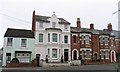
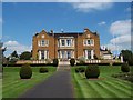
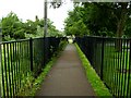
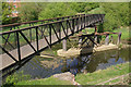
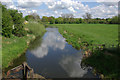
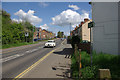
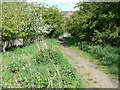
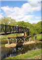
100 photos from this area
Area Information
Key information about the LE13 0JH including its size, population, and administrative classification.
- Area Type
- Postcode
- Area Size
- 6.4 hectares
- Population
- 1480
- Population Density
- 1975 people/km²
House Prices in LE13 0JH
42
Properties
£130,034
Average Sold Price
£34,000
Lowest Price
£190,000
Highest Price
Showing 42 properties
| Address | Type | Beds | Baths | Last Sale Price | Last Sale Date | |
|---|---|---|---|---|---|---|
| 91 West Avenue, Melton Mowbray, LE13 0JH | Terraced | 3 | 1 | £190,000 | Mar 2025 | |
| 123 West Avenue, Melton Mowbray, LE13 0JH | house | - | - | £178,000 | Aug 2022 | |
| 97 West Avenue, Melton Mowbray, LE13 0JH | house | - | - | £180,000 | Sep 2021 | |
| 115 West Avenue, Melton Mowbray, LE13 0JH | house | - | - | £180,000 | Jun 2021 | |
| 99 West Avenue, Melton Mowbray, LE13 0JH | house | - | - | £160,000 | Jan 2021 | |
| 101 West Avenue, Melton Mowbray, LE13 0JH | house | - | - | £170,000 | Sep 2020 | |
| 119 West Avenue, Melton Mowbray, LE13 0JH | Terraced | 2 | 1 | £134,950 | May 2020 | |
| 63 West Avenue, Melton Mowbray, LE13 0JH | house | - | - | £142,500 | Feb 2020 | |
| 32 West Avenue, Melton Mowbray, LE13 0JH | house | - | - | £174,000 | Feb 2020 | |
| 71 West Avenue, Melton Mowbray, LE13 0JH | Semi-detached | 3 | 1 | £175,000 | Dec 2019 |
Page 1 of 5
Energy Efficiency in LE13 0JH
Amenities
Schools
| Rank | School | Type | Entry gender | Ages |
|---|
Explore more schools in this area
Go to Schools tabDemographics
Household Size
Two person
most common
Accommodation Type
Houses
most common
Tenure
53
majority
Ethnic Group
White
most common
Religion
N/A
most common
Household Composition
N/A
most common
Age
47
median
Adults (30-64 years)
most common
Household Deprivation
N/A
with no deprivation
NS-SEC
19
in Lower managerial occupations
Explore more demographic insights in this area
Go to Demographics tabPlanning
Planning Constraints
- Flood RiskPremium
- Ramsar Wetland SitesPremium
- Area of Outstanding Natural BeautyPremium
- Protected Nature ReservePremium
- Protected WoodlandPremium