Area Overview for LE13 0BZ
Photos of LE13 0BZ
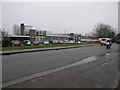
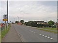
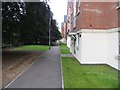
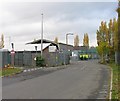
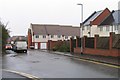
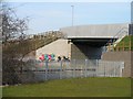
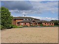
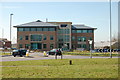
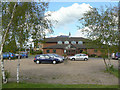
100 photos from this area
Area Information
Key information about the LE13 0BZ including its size, population, and administrative classification.
- Area Type
- Postcode
- Area Size
- 13.5 hectares
- Population
- 2211
- Population Density
- 2390 people/km²
House Prices in LE13 0BZ
54
Properties
£82,375
Average Sold Price
£47,259
Lowest Price
£182,000
Highest Price
Showing 54 properties
| Address | Type | Beds | Baths | Last Sale Price | Last Sale Date | |
|---|---|---|---|---|---|---|
| 48 Lake Terrace, Melton Mowbray, LE13 0BZ | Semi-detached | 3 | 1 | £182,000 | Jul 2025 | |
| 44 Lake Terrace, Melton Mowbray, LE13 0BZ | Semi-detached | 2 | 1 | £150,000 | May 2025 | |
| 7 Lake Terrace, Melton Mowbray, LE13 0BZ | Semi-detached | 2 | 1 | £168,000 | Jun 2023 | |
| 31 Lake Terrace, Melton Mowbray, LE13 0BZ | Terraced | 3 | 1 | £145,000 | Aug 2018 | |
| 27 Lake Terrace, Melton Mowbray, LE13 0BZ | Semi-detached | 3 | 1 | £114,000 | Jul 2015 | |
| 55 Lake Terrace, Melton Mowbray, LE13 0BZ | Terraced | 3 | - | £97,500 | Sep 2014 | |
| 46 Lake Terrace, Melton Mowbray, LE13 0BZ | Terraced | 2 | 1 | £108,000 | Jul 2005 | |
| 29 Lake Terrace, Melton Mowbray, LE13 0BZ | house | 2 | 1 | £97,000 | Sep 2004 | |
| 40 Lake Terrace, Melton Mowbray, LE13 0BZ | house | - | - | £67,984 | Feb 2004 | |
| 34 Lake Terrace, Melton Mowbray, LE13 0BZ | Terraced | - | - | £55,782 | Feb 2004 |
Page 1 of 6
Energy Efficiency in LE13 0BZ
Amenities
Schools
| Rank | School | Type | Entry gender | Ages |
|---|
Explore more schools in this area
Go to Schools tabDemographics
Household Size
One person
most common
Accommodation Type
Houses
most common
Tenure
51
majority
Ethnic Group
White
most common
Religion
N/A
most common
Household Composition
N/A
most common
Age
47
median
Adults (30-64 years)
most common
Household Deprivation
N/A
with no deprivation
NS-SEC
28
in Lower managerial occupations
Explore more demographic insights in this area
Go to Demographics tabPlanning
Planning Constraints
- Flood RiskPremium
- Ramsar Wetland SitesPremium
- Area of Outstanding Natural BeautyPremium
- Protected Nature ReservePremium
- Protected WoodlandPremium