Area Overview for LE12 8WF
Photos of LE12 8WF
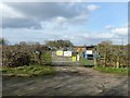
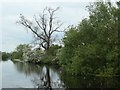
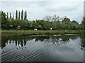
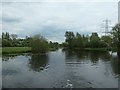
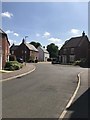
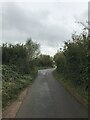
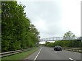
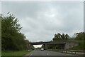
45 photos from this area
Area Information
Key information about the LE12 8WF including its size, population, and administrative classification.
- Area Type
- Postcode
- Area Size
- 1.2 hectares
- Population
- 1795
- Population Density
- 2184 people/km²
House Prices in LE12 8WF
18
Properties
£443,560
Average Sold Price
£299,995
Lowest Price
£574,995
Highest Price
Showing 18 properties
| Address | Type | Beds | Baths | Last Sale Price | Last Sale Date | |
|---|---|---|---|---|---|---|
| 37 Netherhall Drive, Quorn, LE12 8WF | Detached | 4 | 2 | £460,000 | Apr 2024 | |
| 1 Netherhall Drive, Quorn, LE12 8WF | Detached | 4 | 2 | £500,000 | Sep 2023 | |
| 39 Netherhall Drive, Quorn, LE12 8WF | Detached | 4 | 2 | £382,000 | Oct 2019 | |
| 3 Netherhall Drive, Quorn, LE12 8WF | house | - | - | £429,950 | Jul 2019 | |
| 23 Netherhall Drive, Quorn, LE12 8WF | Detached | 6 | 4 | £430,000 | Apr 2017 | |
| 5 Netherhall Drive, Quorn, LE12 8WF | house | - | - | £497,500 | Nov 2015 | |
| 27 Netherhall Drive, Quorn, LE12 8WF | house | - | - | £468,995 | Jun 2014 | |
| 31 Netherhall Drive, Quorn, LE12 8WF | house | - | - | £485,995 | Mar 2014 | |
| 33 Netherhall Drive, Quorn, LE12 8WF | house | - | - | £529,995 | Jan 2014 | |
| 35 Netherhall Drive, Quorn, LE12 8WF | Detached | 5 | 3 | £424,995 | Nov 2013 |
Page 1 of 2
Energy Efficiency in LE12 8WF
Amenities
Schools
| Rank | School | Type | Entry gender | Ages |
|---|
Explore more schools in this area
Go to Schools tabDemographics
Household Size
Two person
most common
Accommodation Type
Houses
most common
Tenure
73
majority
Ethnic Group
White
most common
Religion
N/A
most common
Household Composition
N/A
most common
Age
47
median
Adults (30-64 years)
most common
Household Deprivation
N/A
with no deprivation
NS-SEC
49
in Lower managerial occupations
Explore more demographic insights in this area
Go to Demographics tabPlanning
Planning Constraints
- Flood RiskPremium
- Ramsar Wetland SitesPremium
- Area of Outstanding Natural BeautyPremium
- Protected Nature ReservePremium
- Protected WoodlandPremium