Area Overview for LE12 6RY
Photos of LE12 6RY
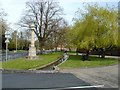
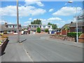
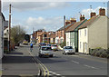
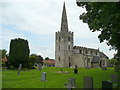
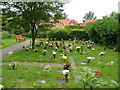
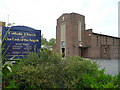
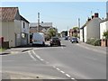
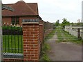
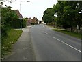
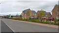
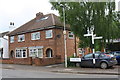
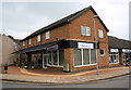
100 photos from this area
Area Information
Key information about the LE12 6RY including its size, population, and administrative classification.
- Area Type
- Postcode
- Area Size
- 1.5 hectares
- Population
- 1692
- Population Density
- 228 people/km²
House Prices in LE12 6RY
28
Properties
£248,648
Average Sold Price
£82,750
Lowest Price
£470,000
Highest Price
Showing 28 properties
| Address | Type | Beds | Baths | Last Sale Price | Last Sale Date | |
|---|---|---|---|---|---|---|
| 22 Towson Field, East Leake, LE12 6RY | Detached | 3 | 2 | £369,000 | Aug 2025 | |
| 1 Towson Field, East Leake, LE12 6RY | house | 4 | 2 | £470,000 | Aug 2024 | |
| 12 Towson Field, East Leake, LE12 6RY | house | 4 | 2 | £430,000 | Jul 2023 | |
| 9 Towson Field, East Leake, LE12 6RY | house | - | - | £365,000 | Nov 2021 | |
| 16 Towson Field, East Leake, LE12 6RY | house | - | - | £325,000 | Jul 2021 | |
| 8 Towson Field, East Leake, LE12 6RY | Detached | 3 | 2 | £260,000 | Nov 2019 | |
| 7 Towson Field, East Leake, LE12 6RY | Detached | 5 | 2 | £380,000 | May 2017 | |
| 11 Towson Field, East Leake, LE12 6RY | house | - | - | £317,500 | May 2014 | |
| 15 Towson Field, East Leake, LE12 6RY | house | - | - | £241,500 | Dec 2013 | |
| 21 Towson Field, East Leake, LE12 6RY | house | - | - | £211,250 | Dec 2013 |
Page 1 of 3
Energy Efficiency in LE12 6RY
Amenities
Schools
| Rank | School | Type | Entry gender | Ages |
|---|
Explore more schools in this area
Go to Schools tabDemographics
Household Size
Two person
most common
Accommodation Type
Houses
most common
Tenure
89
majority
Ethnic Group
White
most common
Religion
N/A
most common
Household Composition
N/A
most common
Age
47
median
Adults (30-64 years)
most common
Household Deprivation
N/A
with no deprivation
NS-SEC
53
in Lower managerial occupations
Explore more demographic insights in this area
Go to Demographics tabPlanning
Planning Constraints
- Flood RiskPremium
- Ramsar Wetland SitesPremium
- Area of Outstanding Natural BeautyPremium
- Protected Nature ReservePremium
- Protected WoodlandPremium