Area Overview for LE12 5RW
Photos of LE12 5RW
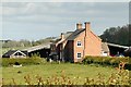
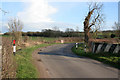
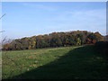
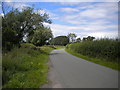
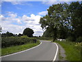
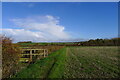
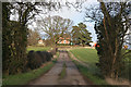
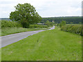
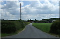
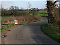
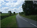

14 photos from this area
Area Information
Key information about the LE12 5RW including its size, population, and administrative classification.
- Area Type
- Postcode
- Area Size
- 66.7 hectares
- Population
- 2786
- Population Density
- 148 people/km²
House Prices in LE12 5RW
4
Properties
£650,000
Average Sold Price
£365,000
Lowest Price
£935,000
Highest Price
Showing 4 properties
| Address | Type | Beds | Baths | Last Sale Price | Last Sale Date | |
|---|---|---|---|---|---|---|
| Northacres, 4 Trowell Lane, Sutton Bonington, LE12 5RW | Detached | 4 | 3 | £935,000 | Sep 2018 | |
| 12 Trowell Lane, Sutton Bonington, LE12 5RW | Detached | - | - | £365,000 | May 2007 | |
| E Sports (uk) Limited, Office Adjacent To Unit 1 The Factory, Trowell Lane, Sutton Bonington, LE12 5RW | Office | - | - | - | - | |
| California Farm, Trowell Lane, Sutton Bonington, LE12 5RW | Detached | - | - | - | - |
Energy Efficiency in LE12 5RW
Amenities
Schools
| Rank | School | Type | Entry gender | Ages |
|---|
Explore more schools in this area
Go to Schools tabDemographics
Household Size
Two person
most common
Accommodation Type
Houses
most common
Tenure
77
majority
Ethnic Group
White
most common
Religion
N/A
most common
Household Composition
N/A
most common
Age
47
median
Young Adults (15-29 years)
most common
Household Deprivation
N/A
with no deprivation
NS-SEC
32
in Lower managerial occupations
Explore more demographic insights in this area
Go to Demographics tabPlanning
Planning Constraints
- Flood RiskPremium
- Ramsar Wetland SitesPremium
- Area of Outstanding Natural BeautyPremium
- Protected Nature ReservePremium
- Protected WoodlandPremium