Area Overview for LE12 5PF
Photos of LE12 5PF
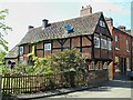
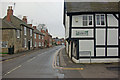
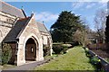
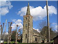
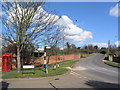
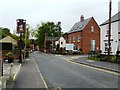
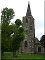
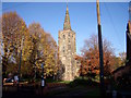
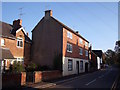
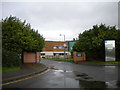
97 photos from this area
Area Information
Key information about the LE12 5PF including its size, population, and administrative classification.
- Area Type
- Postcode
- Area Size
- 4.2 hectares
- Population
- 2786
- Population Density
- 148 people/km²
House Prices in LE12 5PF
46
Properties
£233,406
Average Sold Price
£8,000
Lowest Price
£626,000
Highest Price
Showing 46 properties
| Address | Type | Beds | Baths | Last Sale Price | Last Sale Date | |
|---|---|---|---|---|---|---|
| 64 Main Street, Sutton Bonington, LE12 5PF | Terraced | 2 | 1 | £200,000 | Oct 2025 | |
| 72 Main Street, Sutton Bonington, LE12 5PF | Detached | 3 | 1 | £525,000 | Jan 2025 | |
| 54 Main Street, Sutton Bonington, LE12 5PF | Terraced | 2 | 1 | £190,000 | Dec 2024 | |
| 48 Main Street, Sutton Bonington, LE12 5PF | Terraced | 3 | 1 | £233,500 | Aug 2024 | |
| 100 Main Street, Sutton Bonington, LE12 5PF | house | - | - | £260,000 | Feb 2022 | |
| 98 Main Street, Sutton Bonington, LE12 5PF | Detached | - | - | £8,000 | Nov 2021 | |
| 70 Main Street, Sutton Bonington, LE12 5PF | Detached | 4 | 3 | £338,000 | Oct 2018 | |
| 116 Main Street, Sutton Bonington, LE12 5PF | Detached | 3 | 2 | £425,000 | Jul 2018 | |
| 108 Main Street, Sutton Bonington, LE12 5PF | house | 3 | 1 | £98,251 | Oct 2015 | |
| 60 Main Street, Sutton Bonington, LE12 5PF | Terraced | 2 | 1 | £142,000 | Nov 2007 |
Page 1 of 5
Energy Efficiency in LE12 5PF
Amenities
Schools
| Rank | School | Type | Entry gender | Ages |
|---|
Explore more schools in this area
Go to Schools tabDemographics
Household Size
Two person
most common
Accommodation Type
Houses
most common
Tenure
77
majority
Ethnic Group
White
most common
Religion
N/A
most common
Household Composition
N/A
most common
Age
47
median
Young Adults (15-29 years)
most common
Household Deprivation
N/A
with no deprivation
NS-SEC
32
in Lower managerial occupations
Explore more demographic insights in this area
Go to Demographics tabPlanning
Planning Constraints
- Flood RiskPremium
- Ramsar Wetland SitesPremium
- Area of Outstanding Natural BeautyPremium
- Protected Nature ReservePremium
- Protected WoodlandPremium