Area Overview for LE12 5HY
Photos of LE12 5HY

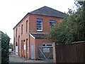
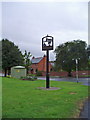
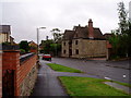
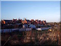
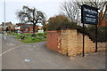
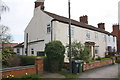
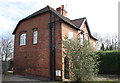
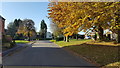
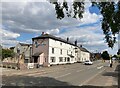
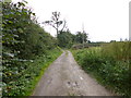
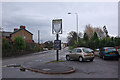
19 photos from this area
Area Information
Key information about the LE12 5HY including its size, population, and administrative classification.
- Area Type
- Postcode
- Area Size
- 2.8 hectares
- Population
- 2351
- Population Density
- 332 people/km²
House Prices in LE12 5HY
31
Properties
£223,586
Average Sold Price
£55,000
Lowest Price
£510,000
Highest Price
Showing 31 properties
| Address | Type | Beds | Baths | Last Sale Price | Last Sale Date | |
|---|---|---|---|---|---|---|
| 69 Loughborough Road, Hathern, LE12 5HY | Detached | 4 | 2 | £435,000 | Dec 2022 | |
| 29 Loughborough Road, Hathern, LE12 5HY | Detached | 4 | 2 | £450,000 | Oct 2020 | |
| 19 Loughborough Road, Hathern, LE12 5HY | Bungalow | 2 | 1 | £280,000 | Aug 2020 | |
| 107 Loughborough Road, Hathern, LE12 5HY | Semi-detached | 5 | 4 | £145,000 | Nov 2018 | |
| 21 Loughborough Road, Hathern, LE12 5HY | Bungalow | - | - | £310,000 | Jan 2016 | |
| 79 Loughborough Road, Hathern, LE12 5HY | Detached | 4 | 4 | £510,000 | Nov 2015 | |
| 81 Loughborough Road, Hathern, LE12 5HY | Detached | 4 | 1 | £325,000 | Jul 2015 | |
| 55 Loughborough Road, Hathern, LE12 5HY | Detached | 3 | - | £222,500 | Apr 2013 | |
| 111 Loughborough Road, Hathern, LE12 5HY | Semi-detached | 3 | - | £109,000 | Aug 2012 | |
| 51 Loughborough Road, Hathern, LE12 5HY | Detached | 4 | 2 | £195,000 | Apr 2012 |
Page 1 of 4
Energy Efficiency in LE12 5HY
Amenities
Schools
| Rank | School | Type | Entry gender | Ages |
|---|
Explore more schools in this area
Go to Schools tabDemographics
Household Size
Two person
most common
Accommodation Type
Houses
most common
Tenure
78
majority
Ethnic Group
White
most common
Religion
N/A
most common
Household Composition
N/A
most common
Age
47
median
Adults (30-64 years)
most common
Household Deprivation
N/A
with no deprivation
NS-SEC
41
in Lower managerial occupations
Explore more demographic insights in this area
Go to Demographics tabPlanning
Planning Constraints
- Flood RiskPremium
- Ramsar Wetland SitesPremium
- Area of Outstanding Natural BeautyPremium
- Protected Nature ReservePremium
- Protected WoodlandPremium