Area Overview for LE12 5AX
Photos of LE12 5AX
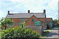
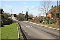
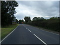
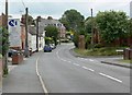
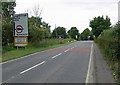
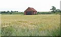
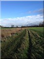
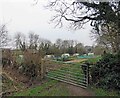

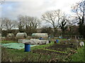
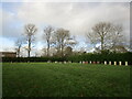
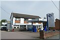
34 photos from this area
Area Information
Key information about the LE12 5AX including its size, population, and administrative classification.
- Area Type
- Postcode
- Area Size
- 7.4 hectares
- Population
- 1358
- Population Density
- 64 people/km²
House Prices in LE12 5AX
25
Properties
£318,319
Average Sold Price
£98,500
Lowest Price
£625,000
Highest Price
Showing 25 properties
| Address | Type | Beds | Baths | Last Sale Price | Last Sale Date | |
|---|---|---|---|---|---|---|
| 47 Hubbard Road, Burton On The Wolds, LE12 5AX | Detached | 4 | 1 | £132,945 | Jan 2025 | |
| 49 Hubbard Road, Burton On The Wolds, LE12 5AX | Detached | 4 | 2 | £470,000 | Mar 2023 | |
| 39 Hubbard Road, Burton On The Wolds, LE12 5AX | house | - | - | £625,000 | Jul 2022 | |
| 19 Hubbard Road, Burton On The Wolds, LE12 5AX | house | - | - | £212,500 | Feb 2022 | |
| 37 Hubbard Road, Burton On The Wolds, LE12 5AX | Detached | 4 | 2 | £340,000 | Dec 2020 | |
| 29 Hubbard Road, Burton On The Wolds, LE12 5AX | house | - | - | £98,500 | Mar 2019 | |
| 51 Hubbard Road, Burton On The Wolds, LE12 5AX | Detached | 4 | 2 | £310,000 | Jun 2017 | |
| 23 Hubbard Road, Burton On The Wolds, LE12 5AX | Semi-detached | 3 | 1 | £184,500 | May 2017 | |
| 17 Hubbard Road, Burton On The Wolds, LE12 5AX | house | - | - | £285,000 | Jan 2016 | |
| 11 Hubbard Road, Burton On The Wolds, LE12 5AX | house | - | - | £408,000 | Jul 2015 |
Page 1 of 3
Energy Efficiency in LE12 5AX
Amenities
Schools
| Rank | School | Type | Entry gender | Ages |
|---|
Explore more schools in this area
Go to Schools tabDemographics
Household Size
Two person
most common
Accommodation Type
Houses
most common
Tenure
86
majority
Ethnic Group
White
most common
Religion
N/A
most common
Household Composition
N/A
most common
Age
47
median
Adults (30-64 years)
most common
Household Deprivation
N/A
with no deprivation
NS-SEC
49
in Lower managerial occupations
Explore more demographic insights in this area
Go to Demographics tabPlanning
Planning Constraints
- Flood RiskPremium
- Ramsar Wetland SitesPremium
- Area of Outstanding Natural BeautyPremium
- Protected Nature ReservePremium
- Protected WoodlandPremium