Area Overview for LE11 5JE
Photos of LE11 5JE
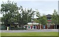
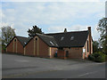
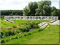
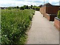
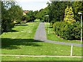
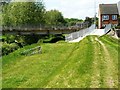
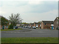
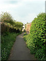
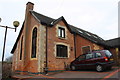
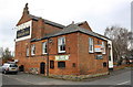
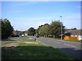
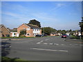
29 photos from this area
Area Information
Key information about the LE11 5JE including its size, population, and administrative classification.
- Area Type
- Postcode
- Area Size
- 7483 m²
- Population
- 1286
- Population Density
- 5047 people/km²
House Prices in LE11 5JE
42
Properties
£96,800
Average Sold Price
£49,000
Lowest Price
£165,000
Highest Price
Showing 42 properties
| Address | Type | Beds | Baths | Last Sale Price | Last Sale Date | |
|---|---|---|---|---|---|---|
| 16 Copeland Crescent, Loughborough, LE11 5JE | Terraced | 3 | 1 | £165,000 | Oct 2021 | |
| 4 Copeland Crescent, Loughborough, LE11 5JE | Terraced | 4 | 4 | £125,000 | Aug 2016 | |
| 34 Copeland Crescent, Loughborough, LE11 5JE | Terraced | 3 | - | £80,000 | Jun 2013 | |
| 5 Copeland Crescent, Loughborough, LE11 5JE | house | 3 | - | £65,000 | Jul 2011 | |
| 32 Copeland Crescent, Loughborough, LE11 5JE | Terraced | - | - | £49,000 | May 2005 | |
| Former 90, Keats Way, Loughborough, LE11 5JE | Terraced | - | - | - | - | |
| Former 87, Keats Way, Loughborough, LE11 5JE | Terraced | - | - | - | - | |
| Former 99, Keats Way, Loughborough, LE11 5JE | Terraced | - | - | - | - | |
| Former 92, Keats Way, Loughborough, LE11 5JE | Terraced | - | - | - | - | |
| Former 109, Keats Way, Loughborough, LE11 5JE | Terraced | - | - | - | - |
Page 1 of 5
Energy Efficiency in LE11 5JE
Amenities
Schools
| Rank | School | Type | Entry gender | Ages |
|---|
Explore more schools in this area
Go to Schools tabDemographics
Household Size
One person
most common
Accommodation Type
Houses
most common
Tenure
36
majority
Ethnic Group
White
most common
Religion
N/A
most common
Household Composition
N/A
most common
Age
47
median
Adults (30-64 years)
most common
Household Deprivation
N/A
with no deprivation
NS-SEC
16
in Lower managerial occupations
Explore more demographic insights in this area
Go to Demographics tabPlanning
Planning Constraints
- Flood RiskPremium
- Ramsar Wetland SitesPremium
- Area of Outstanding Natural BeautyPremium
- Protected Nature ReservePremium
- Protected WoodlandPremium