Area Overview for LE11 4PR
Photos of LE11 4PR
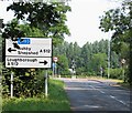
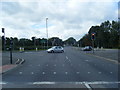
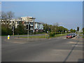
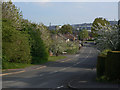
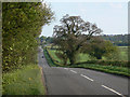
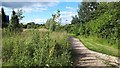
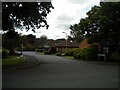
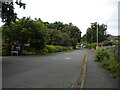
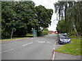
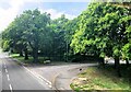
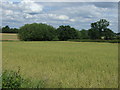
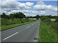
15 photos from this area
Area Information
Key information about the LE11 4PR including its size, population, and administrative classification.
- Area Type
- Postcode
- Area Size
- 2.3 hectares
- Population
- 1428
- Population Density
- 775 people/km²
House Prices in LE11 4PR
35
Properties
£261,291
Average Sold Price
£71,000
Lowest Price
£440,000
Highest Price
Showing 35 properties
| Address | Type | Beds | Baths | Last Sale Price | Last Sale Date | |
|---|---|---|---|---|---|---|
| 9 Cropston Avenue, Loughborough, LE11 4PR | Detached | 4 | 1 | £311,150 | Sep 2025 | |
| 14 Cropston Avenue, Loughborough, LE11 4PR | Detached | 4 | 1 | £294,000 | Dec 2024 | |
| 21 Cropston Avenue, Loughborough, LE11 4PR | Detached | 4 | 1 | £355,000 | Aug 2024 | |
| 38 Cropston Avenue, Loughborough, LE11 4PR | Bungalow | 3 | 1 | £290,000 | Nov 2022 | |
| 6 Cropston Avenue, Loughborough, LE11 4PR | house | - | - | £415,000 | Sep 2022 | |
| 10 Cropston Avenue, Loughborough, LE11 4PR | house | - | - | £440,000 | Dec 2021 | |
| 11 Cropston Avenue, Loughborough, LE11 4PR | Detached | 4 | 2 | £288,000 | Jul 2021 | |
| 2A Cropston Avenue, Loughborough, LE11 4PR | Detached | 4 | 2 | £375,000 | Jun 2021 | |
| 28 Cropston Avenue, Loughborough, LE11 4PR | Detached | 4 | 1 | £207,250 | Mar 2021 | |
| 20 Cropston Avenue, Loughborough, LE11 4PR | house | 4 | - | £290,000 | Mar 2021 |
Page 1 of 4
Energy Efficiency in LE11 4PR
Amenities
Schools
| Rank | School | Type | Entry gender | Ages |
|---|
Explore more schools in this area
Go to Schools tabDemographics
Household Size
Two person
most common
Accommodation Type
Houses
most common
Tenure
77
majority
Ethnic Group
White
most common
Religion
N/A
most common
Household Composition
N/A
most common
Age
47
median
Adults (30-64 years)
most common
Household Deprivation
N/A
with no deprivation
NS-SEC
38
in Lower managerial occupations
Explore more demographic insights in this area
Go to Demographics tabPlanning
Planning Constraints
- Flood RiskPremium
- Ramsar Wetland SitesPremium
- Area of Outstanding Natural BeautyPremium
- Protected Nature ReservePremium
- Protected WoodlandPremium