Area Overview for LE11 4BP
Photos of LE11 4BP
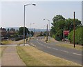
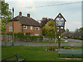
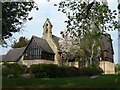
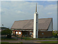
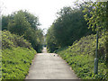
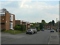
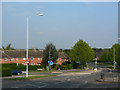
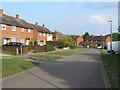
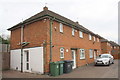
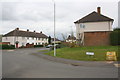
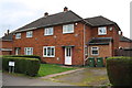

45 photos from this area
Area Information
Key information about the LE11 4BP including its size, population, and administrative classification.
- Area Type
- Postcode
- Area Size
- 2.0 hectares
- Population
- 1471
- Population Density
- 3037 people/km²
House Prices in LE11 4BP
20
Properties
£246,160
Average Sold Price
£83,950
Lowest Price
£375,000
Highest Price
Showing 20 properties
| Address | Type | Beds | Baths | Last Sale Price | Last Sale Date | |
|---|---|---|---|---|---|---|
| 18 Crosswood Close, Loughborough, LE11 4BP | house | 4 | 1 | £328,000 | Jun 2024 | |
| 6 Crosswood Close, Loughborough, LE11 4BP | Detached | 4 | 1 | £363,500 | Aug 2023 | |
| 11 Crosswood Close, Loughborough, LE11 4BP | house | - | - | £350,000 | Mar 2022 | |
| 24 Crosswood Close, Loughborough, LE11 4BP | house | - | - | £250,000 | Mar 2021 | |
| 9 Crosswood Close, Loughborough, LE11 4BP | house | 4 | - | £299,950 | Dec 2020 | |
| 10 Crosswood Close, Loughborough, LE11 4BP | house | - | - | £259,000 | Nov 2020 | |
| 4 Crosswood Close, Loughborough, LE11 4BP | Detached | 5 | 1 | £375,000 | Nov 2020 | |
| 8 Crosswood Close, Loughborough, LE11 4BP | house | - | - | £215,000 | Sep 2016 | |
| 1 Crosswood Close, Loughborough, LE11 4BP | Detached | 3 | 3 | £230,000 | Sep 2016 | |
| 5 Crosswood Close, Loughborough, LE11 4BP | house | - | - | £200,000 | Nov 2014 |
Page 1 of 2
Energy Efficiency in LE11 4BP
Amenities
Schools
| Rank | School | Type | Entry gender | Ages |
|---|
Explore more schools in this area
Go to Schools tabDemographics
Household Size
Two person
most common
Accommodation Type
Houses
most common
Tenure
82
majority
Ethnic Group
White
most common
Religion
N/A
most common
Household Composition
N/A
most common
Age
47
median
Adults (30-64 years)
most common
Household Deprivation
N/A
with no deprivation
NS-SEC
34
in Lower managerial occupations
Explore more demographic insights in this area
Go to Demographics tabPlanning
Planning Constraints
- Flood RiskPremium
- Ramsar Wetland SitesPremium
- Area of Outstanding Natural BeautyPremium
- Protected Nature ReservePremium
- Protected WoodlandPremium