Area Overview for LE11 3YG
Photos of LE11 3YG
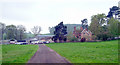
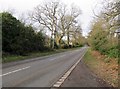
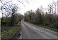
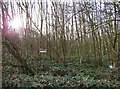
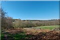
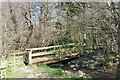
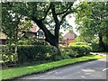
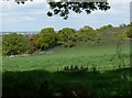
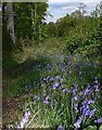
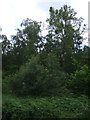
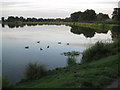

12 photos from this area
Area Information
Key information about the LE11 3YG including its size, population, and administrative classification.
- Area Type
- Postcode
- Area Size
- 99.9 hectares
- Population
- 1231
- Population Density
- 357 people/km²
House Prices in LE11 3YG
16
Properties
£521,833
Average Sold Price
£360,000
Lowest Price
£724,000
Highest Price
Showing 16 properties
| Address | Type | Beds | Baths | Last Sale Price | Last Sale Date | |
|---|---|---|---|---|---|---|
| Gatehouse, Woodhouse Lane, Loughborough, LE11 3YG | Detached | 2 | 1 | £360,000 | Jan 2014 | |
| Game Keepers Cottage, Woodhouse Lane, Loughborough, LE11 3YG | Detached | - | - | £481,500 | Sep 2009 | |
| Outwoods Edge, Woodhouse Lane, Loughborough, LE11 3YG | house | - | - | £724,000 | Dec 2007 | |
| Buck Hill Farm, Woodhouse Lane, Loughborough, LE11 3YG | house | 5 | - | - | - | |
| Buck Hill Lodge, Woodhouse Lane, Loughborough, LE11 3YG | house | 5 | - | - | - | |
| Public Toilets, Nanpantan Reservoir, Woodhouse Lane, Loughborough, LE11 3YG | commercial | - | - | - | - | |
| Shop, Home Farm, Woodhouse Lane, Loughborough, LE11 3YG | shop | - | - | - | - | |
| Former Buck Hill Barn, Woodhouse Lane, Loughborough, LE11 3YG | Detached | - | - | - | - | |
| Public Toilets, The Outwoods Country Park, Woodhouse Lane, Loughborough, LE11 3YG | commercial | - | - | - | - | |
| Farmhouse, Home Farm, Woodhouse Lane, Loughborough, LE11 3YG | Detached | - | - | - | - |
Page 1 of 2
Energy Efficiency in LE11 3YG
Amenities
Schools
| Rank | School | Type | Entry gender | Ages |
|---|
Explore more schools in this area
Go to Schools tabDemographics
Household Size
Two person
most common
Accommodation Type
Houses
most common
Tenure
86
majority
Ethnic Group
White
most common
Religion
N/A
most common
Household Composition
N/A
most common
Age
47
median
Adults (30-64 years)
most common
Household Deprivation
N/A
with no deprivation
NS-SEC
45
in Lower managerial occupations
Explore more demographic insights in this area
Go to Demographics tabPlanning
Planning Constraints
- Flood RiskPremium
- Ramsar Wetland SitesPremium
- Area of Outstanding Natural BeautyPremium
- Protected Nature ReservePremium
- Protected WoodlandPremium