Area Overview for LE11 3SH
Photos of LE11 3SH
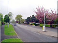
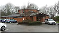
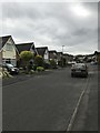
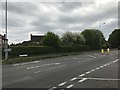
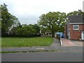
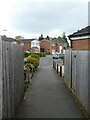
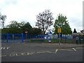
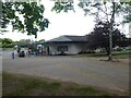
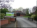
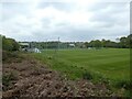
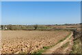
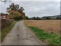
25 photos from this area
Area Information
Key information about the LE11 3SH including its size, population, and administrative classification.
- Area Type
- Postcode
- Area Size
- 6915 m²
- Population
- 1645
- Population Density
- 4256 people/km²
House Prices in LE11 3SH
20
Properties
£166,996
Average Sold Price
£79,950
Lowest Price
£235,500
Highest Price
Showing 20 properties
| Address | Type | Beds | Baths | Last Sale Price | Last Sale Date | |
|---|---|---|---|---|---|---|
| 3 Ambleside Close, Loughborough, LE11 3SH | house | - | - | £212,500 | Jul 2020 | |
| 14 Ambleside Close, Loughborough, LE11 3SH | house | - | - | £190,000 | Sep 2018 | |
| 5 Ambleside Close, Loughborough, LE11 3SH | house | - | - | £162,000 | May 2017 | |
| 20 Ambleside Close, Loughborough, LE11 3SH | house | - | - | £235,500 | Mar 2016 | |
| 4 Ambleside Close, Loughborough, LE11 3SH | house | - | - | £170,000 | Nov 2013 | |
| 11 Ambleside Close, Loughborough, LE11 3SH | house | 3 | - | £145,000 | Sep 2013 | |
| 17 Ambleside Close, Loughborough, LE11 3SH | house | 3 | 1 | £162,000 | Jul 2009 | |
| 19 Ambleside Close, Loughborough, LE11 3SH | house | - | - | £140,010 | Feb 2009 | |
| 8 Ambleside Close, Loughborough, LE11 3SH | Semi-detached | - | - | £182,500 | Jan 2007 | |
| 15 Ambleside Close, Loughborough, LE11 3SH | Semi-detached | - | - | £157,500 | Mar 2005 |
Page 1 of 2
Energy Efficiency in LE11 3SH
Amenities
Schools
| Rank | School | Type | Entry gender | Ages |
|---|
Explore more schools in this area
Go to Schools tabDemographics
Household Size
Family (3-5 people)
most common
Accommodation Type
Houses
most common
Tenure
75
majority
Ethnic Group
White
most common
Religion
N/A
most common
Household Composition
N/A
most common
Age
47
median
Adults (30-64 years)
most common
Household Deprivation
N/A
with no deprivation
NS-SEC
31
in Lower managerial occupations
Explore more demographic insights in this area
Go to Demographics tabPlanning
Planning Constraints
- Flood RiskPremium
- Ramsar Wetland SitesPremium
- Area of Outstanding Natural BeautyPremium
- Protected Nature ReservePremium
- Protected WoodlandPremium