Area Overview for LE11 3NW
Photos of LE11 3NW
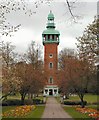
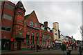

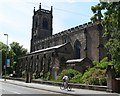
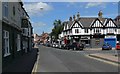
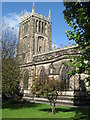
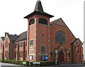
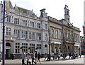
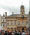
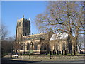
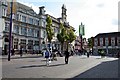
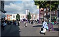
100 photos from this area
Area Information
Key information about the LE11 3NW including its size, population, and administrative classification.
- Area Type
- Postcode
- Area Size
- 4.8 hectares
- Population
- 2552
- Population Density
- 5076 people/km²
House Prices in LE11 3NW
100
Properties
£309,095
Average Sold Price
£60,000
Lowest Price
£800,000
Highest Price
Showing 100 properties (first 250)
| Address | Type | Beds | Baths | Last Sale Price | Last Sale Date | |
|---|---|---|---|---|---|---|
| 3 Forest Road, Loughborough, LE11 3NW | house | - | - | £525,000 | Oct 2022 | |
| Brooklands, 95 Forest Road, Loughborough, LE11 3NW | university_college | - | - | £800,000 | Apr 2020 | |
| 9 Forest Road, Loughborough, LE11 3NW | Terraced | 4 | 2 | £280,000 | Jun 2016 | |
| 5 Forest Road, Loughborough, LE11 3NW | Detached | 6 | 3 | £249,000 | Mar 2016 | |
| 7 Forest Road, Loughborough, LE11 3NW | Terraced | 5 | 1 | £255,000 | Oct 2015 | |
| 53 Forest Road, Loughborough, LE11 3NW | house | - | - | £250,000 | Jul 2011 | |
| 1 Forest Road, Loughborough, LE11 3NW | Semi-detached | 2 | 1 | £250,000 | Jun 2007 | |
| 101 Forest Road, Loughborough, LE11 3NW | Detached | - | - | £334,645 | May 2006 | |
| 49 Forest Road, Loughborough, LE11 3NW | Bungalow | 6 | 5 | £216,500 | Jul 2003 | |
| 11 Forest Road, Loughborough, LE11 3NW | Semi-detached | 4 | 3 | £60,000 | May 2002 |
Page 1 of 10
Energy Efficiency in LE11 3NW
Amenities
Schools
| Rank | School | Type | Entry gender | Ages |
|---|
Explore more schools in this area
Go to Schools tabDemographics
Household Size
Family (3-5 people)
most common
Accommodation Type
Houses
most common
Tenure
23
majority
Ethnic Group
White
most common
Religion
N/A
most common
Household Composition
N/A
most common
Age
22
median
Young Adults (15-29 years)
most common
Household Deprivation
N/A
with no deprivation
NS-SEC
12
in Lower managerial occupations
Explore more demographic insights in this area
Go to Demographics tabPlanning
Planning Constraints
- Flood RiskPremium
- Ramsar Wetland SitesPremium
- Area of Outstanding Natural BeautyPremium
- Protected Nature ReservePremium
- Protected WoodlandPremium