Area Overview for LE11 2UB
Photos of LE11 2UB
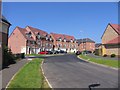
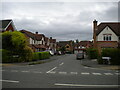
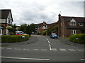
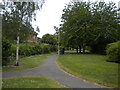
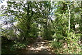
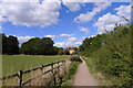
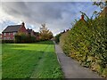
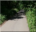
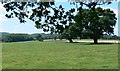
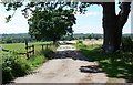
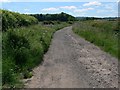

13 photos from this area
Area Information
Key information about the LE11 2UB including its size, population, and administrative classification.
- Area Type
- Postcode
- Area Size
- 1.2 hectares
- Population
- 1740
- Population Density
- 6510 people/km²
House Prices in LE11 2UB
45
Properties
£204,289
Average Sold Price
£125,000
Lowest Price
£365,000
Highest Price
Showing 45 properties
| Address | Type | Beds | Baths | Last Sale Price | Last Sale Date | |
|---|---|---|---|---|---|---|
| 14 Clumber Close, Loughborough, LE11 2UB | Terraced | 2 | 1 | £215,000 | Oct 2025 | |
| 3 Clumber Close, Loughborough, LE11 2UB | house | - | - | £270,000 | Mar 2025 | |
| 47 Clumber Close, Loughborough, LE11 2UB | Semi-detached | 4 | 2 | £332,500 | Jun 2024 | |
| 23 Clumber Close, Loughborough, LE11 2UB | house | - | - | £260,000 | Apr 2024 | |
| 41 Clumber Close, Loughborough, LE11 2UB | house | 3 | 3 | £242,000 | Jun 2023 | |
| 34 Clumber Close, Loughborough, LE11 2UB | Semi-detached | 3 | 1 | £265,000 | May 2023 | |
| 24 Clumber Close, Loughborough, LE11 2UB | Semi-detached | 2 | 1 | £194,950 | May 2023 | |
| 17 Clumber Close, Loughborough, LE11 2UB | Semi-detached | 3 | 2 | £269,950 | Dec 2022 | |
| 15 Clumber Close, Loughborough, LE11 2UB | house | - | - | £252,000 | Feb 2022 | |
| 4 Clumber Close, Loughborough, LE11 2UB | house | 4 | 1 | £365,000 | Sep 2021 |
Page 1 of 5
Energy Efficiency in LE11 2UB
Amenities
Schools
| Rank | School | Type | Entry gender | Ages |
|---|
Explore more schools in this area
Go to Schools tabDemographics
Household Size
Family (3-5 people)
most common
Accommodation Type
Houses
most common
Tenure
76
majority
Ethnic Group
White
most common
Religion
N/A
most common
Household Composition
N/A
most common
Age
47
median
Adults (30-64 years)
most common
Household Deprivation
N/A
with no deprivation
NS-SEC
52
in Lower managerial occupations
Explore more demographic insights in this area
Go to Demographics tabPlanning
Planning Constraints
- Flood RiskPremium
- Ramsar Wetland SitesPremium
- Area of Outstanding Natural BeautyPremium
- Protected Nature ReservePremium
- Protected WoodlandPremium