Area Overview for LE11 2PA
Photos of LE11 2PA
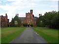
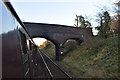
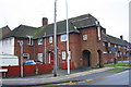

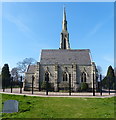
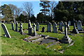
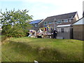
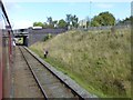
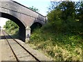
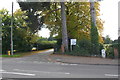
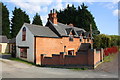
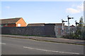
56 photos from this area
Area Information
Key information about the LE11 2PA including its size, population, and administrative classification.
- Area Type
- Postcode
- Area Size
- 1.8 hectares
- Population
- 1191
- Population Density
- 1964 people/km²
House Prices in LE11 2PA
40
Properties
£128,371
Average Sold Price
£37,000
Lowest Price
£211,000
Highest Price
Showing 40 properties
| Address | Type | Beds | Baths | Last Sale Price | Last Sale Date | |
|---|---|---|---|---|---|---|
| 24 King George Road, Loughborough, LE11 2PA | Semi-detached | 2 | 1 | £211,000 | Jul 2023 | |
| 54 King George Road, Loughborough, LE11 2PA | Semi-detached | 2 | 1 | £205,000 | Nov 2022 | |
| 8 King George Road, Loughborough, LE11 2PA | Terraced | 2 | 1 | £196,000 | Oct 2022 | |
| 58 King George Road, Loughborough, LE11 2PA | house | - | - | £194,950 | Jan 2021 | |
| 6 King George Road, Loughborough, LE11 2PA | house | - | - | £152,250 | Jul 2018 | |
| 12 King George Road, Loughborough, LE11 2PA | house | 3 | - | £110,000 | Jun 2018 | |
| 72 King George Road, Loughborough, LE11 2PA | Semi-detached | 2 | - | £141,000 | Oct 2015 | |
| 30 King George Road, Loughborough, LE11 2PA | house | 3 | 1 | £154,950 | Aug 2015 | |
| 32 King George Road, Loughborough, LE11 2PA | house | - | - | £155,000 | Jul 2015 | |
| 22 King George Road, Loughborough, LE11 2PA | Semi-detached | 2 | 1 | £123,000 | May 2015 |
Page 1 of 4
Energy Efficiency in LE11 2PA
Amenities
Schools
| Rank | School | Type | Entry gender | Ages |
|---|
Explore more schools in this area
Go to Schools tabDemographics
Household Size
Two person
most common
Accommodation Type
Houses
most common
Tenure
81
majority
Ethnic Group
White
most common
Religion
N/A
most common
Household Composition
N/A
most common
Age
47
median
Adults (30-64 years)
most common
Household Deprivation
N/A
with no deprivation
NS-SEC
31
in Lower managerial occupations
Explore more demographic insights in this area
Go to Demographics tabPlanning
Planning Constraints
- Flood RiskPremium
- Ramsar Wetland SitesPremium
- Area of Outstanding Natural BeautyPremium
- Protected Nature ReservePremium
- Protected WoodlandPremium