Area Overview for LE11 2NJ
Photos of LE11 2NJ

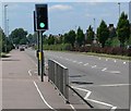
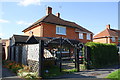
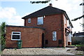
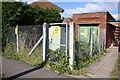
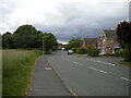
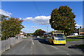
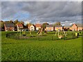
23 photos from this area
Area Information
Key information about the LE11 2NJ including its size, population, and administrative classification.
- Area Type
- Postcode
- Area Size
- 8535 m²
- Population
- 1471
- Population Density
- 1997 people/km²
House Prices in LE11 2NJ
23
Properties
£192,791
Average Sold Price
£59,950
Lowest Price
£395,000
Highest Price
Showing 23 properties
| Address | Type | Beds | Baths | Last Sale Price | Last Sale Date | |
|---|---|---|---|---|---|---|
| 15 Aspen Avenue, Loughborough, LE11 2NJ | house | 4 | 2 | £390,000 | Mar 2024 | |
| 16 Aspen Avenue, Loughborough, LE11 2NJ | Semi-detached | 3 | 1 | £268,000 | Dec 2023 | |
| 9 Aspen Avenue, Loughborough, LE11 2NJ | house | - | - | £315,000 | Nov 2023 | |
| 8 Aspen Avenue, Loughborough, LE11 2NJ | Detached | 4 | 2 | £395,000 | Sep 2023 | |
| 12 Aspen Avenue, Loughborough, LE11 2NJ | house | 3 | 1 | £249,000 | Mar 2022 | |
| 22 Aspen Avenue, Loughborough, LE11 2NJ | Semi-detached | 3 | 1 | £208,000 | Jun 2021 | |
| 23 Aspen Avenue, Loughborough, LE11 2NJ | house | - | - | £110,000 | Mar 2021 | |
| 6 Aspen Avenue, Loughborough, LE11 2NJ | house | - | - | £154,000 | May 2015 | |
| 10 Aspen Avenue, Loughborough, LE11 2NJ | Semi-detached | 3 | 1 | £150,000 | Feb 2015 | |
| 1 Aspen Avenue, Loughborough, LE11 2NJ | Detached | 4 | - | £238,500 | Jan 2015 |
Page 1 of 3
Energy Efficiency in LE11 2NJ
Amenities
Schools
| Rank | School | Type | Entry gender | Ages |
|---|
Explore more schools in this area
Go to Schools tabDemographics
Household Size
Family (3-5 people)
most common
Accommodation Type
Houses
most common
Tenure
81
majority
Ethnic Group
White
most common
Religion
N/A
most common
Household Composition
N/A
most common
Age
47
median
Adults (30-64 years)
most common
Household Deprivation
N/A
with no deprivation
NS-SEC
45
in Lower managerial occupations
Explore more demographic insights in this area
Go to Demographics tabPlanning
Planning Constraints
- Flood RiskPremium
- Ramsar Wetland SitesPremium
- Area of Outstanding Natural BeautyPremium
- Protected Nature ReservePremium
- Protected WoodlandPremium