Area Overview for LE11 2BS
Photos of LE11 2BS
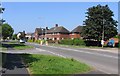
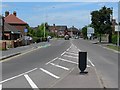
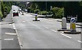
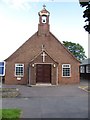
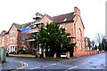
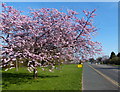
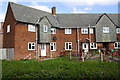
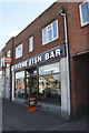
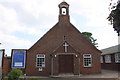
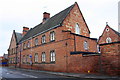
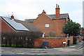
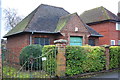
46 photos from this area
Area Information
Key information about the LE11 2BS including its size, population, and administrative classification.
- Area Type
- Postcode
- Area Size
- 6610 m²
- Population
- 1569
- Population Density
- 4505 people/km²
House Prices in LE11 2BS
14
Properties
£309,667
Average Sold Price
£108,000
Lowest Price
£900,000
Highest Price
Showing 14 properties
| Address | Type | Beds | Baths | Last Sale Price | Last Sale Date | |
|---|---|---|---|---|---|---|
| 121 Herrick Road, Loughborough, LE11 2BS | house | 5 | 2 | £370,000 | Jun 2024 | |
| 117 Herrick Road, Loughborough, LE11 2BS | house | 2 | 1 | £900,000 | Nov 2022 | |
| 119 Herrick Road, Loughborough, LE11 2BS | house | 5 | 2 | £465,000 | Mar 2022 | |
| 145 Herrick Road, Loughborough, LE11 2BS | Detached | 4 | 3 | £375,000 | Feb 2021 | |
| 123 Herrick Road, Loughborough, LE11 2BS | Terraced | 2 | - | £108,000 | Jun 2016 | |
| 125 Herrick Road, Loughborough, LE11 2BS | Terraced | 2 | 1 | £121,000 | Jun 2011 | |
| 127 Herrick Road, Loughborough, LE11 2BS | house | - | - | £143,000 | Oct 2007 | |
| 147 Herrick Road, Loughborough, LE11 2BS | Bungalow | 2 | 1 | £185,000 | Apr 2006 | |
| 135 Herrick Road, Loughborough, LE11 2BS | Detached | 3 | 1 | £120,000 | Jan 2002 | |
| 129 Herrick Road, Loughborough, LE11 2BS | Terraced | - | - | - | - |
Page 1 of 2
Energy Efficiency in LE11 2BS
Amenities
Schools
| Rank | School | Type | Entry gender | Ages |
|---|
Explore more schools in this area
Go to Schools tabDemographics
Household Size
Family (3-5 people)
most common
Accommodation Type
Houses
most common
Tenure
73
majority
Ethnic Group
White
most common
Religion
N/A
most common
Household Composition
N/A
most common
Age
47
median
Adults (30-64 years)
most common
Household Deprivation
N/A
with no deprivation
NS-SEC
41
in Lower managerial occupations
Explore more demographic insights in this area
Go to Demographics tabPlanning
Planning Constraints
- Flood RiskPremium
- Ramsar Wetland SitesPremium
- Area of Outstanding Natural BeautyPremium
- Protected Nature ReservePremium
- Protected WoodlandPremium