Area Overview for LE11 1TG
Photos of LE11 1TG
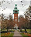
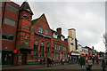
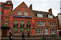
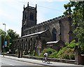
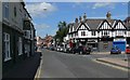
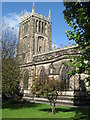
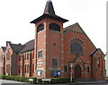
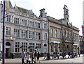
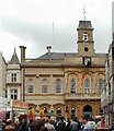
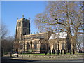
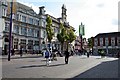
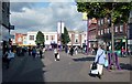
100 photos from this area
Area Information
Key information about the LE11 1TG including its size, population, and administrative classification.
- Area Type
- Postcode
- Area Size
- 1.0 hectares
- Population
- 2071
- Population Density
- 6143 people/km²
House Prices in LE11 1TG
13
Properties
-
Average Sold Price
-
Lowest Price
-
Highest Price
Showing 13 properties
| Address | Type | Beds | Baths | Last Sale Price | Last Sale Date | |
|---|---|---|---|---|---|---|
| 11A Baxter Gate, Loughborough, LE11 1TG | Flat | - | - | - | - | |
| Former Flat, 13-14 Baxter Gate, Loughborough, LE11 1TG | Flat | - | - | - | - | |
| John F Mould, 19-20 Baxter Gate, Loughborough, LE11 1TG | Office | - | - | - | - | |
| John W Mould, 19-20 Baxter Gate, Loughborough, LE11 1TG | Office | - | - | - | - | |
| Managers Accommodation, 6 Baxter Gate, Loughborough, LE11 1TG | Flat | - | - | - | - | |
| 17 Baxter Gate, Loughborough, LE11 1TG | house | - | - | - | - | |
| Pepes, 19-20 Baxter Gate, Loughborough, LE11 1TG | Office | - | - | - | - | |
| Peter Pizzeria, 18 Baxter Gate, Loughborough, LE11 1TG | Retail | - | - | - | - | |
| Loughborough Arms, 6 Baxter Gate, Loughborough, LE11 1TG | restaurant_cafe | - | - | - | - | |
| Inpost, Electronic Delivery Locker, The Junction Church, Baxter Gate, Loughborough, LE11 1TG | Retail | - | - | - | - |
Page 1 of 2
Energy Efficiency in LE11 1TG
Amenities
Schools
| Rank | School | Type | Entry gender | Ages |
|---|
Explore more schools in this area
Go to Schools tabDemographics
Household Size
One person
most common
Accommodation Type
Houses
most common
Tenure
44
majority
Ethnic Group
White
most common
Religion
N/A
most common
Household Composition
N/A
most common
Age
47
median
Adults (30-64 years)
most common
Household Deprivation
N/A
with no deprivation
NS-SEC
25
in Lower managerial occupations
Explore more demographic insights in this area
Go to Demographics tabPlanning
Planning Constraints
- Flood RiskPremium
- Ramsar Wetland SitesPremium
- Area of Outstanding Natural BeautyPremium
- Protected Nature ReservePremium
- Protected WoodlandPremium