Area Overview for LE10 2ST
Photos of LE10 2ST
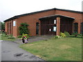
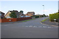
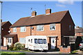
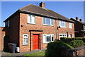
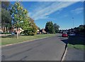
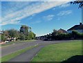
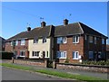
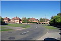
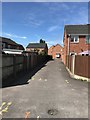
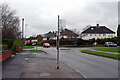
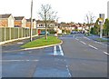
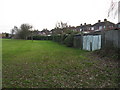
26 photos from this area
Area Information
Key information about the LE10 2ST including its size, population, and administrative classification.
- Area Type
- Postcode
- Area Size
- 7009 m²
- Population
- 1173
- Population Density
- 5408 people/km²
House Prices in LE10 2ST
23
Properties
£175,754
Average Sold Price
£54,000
Lowest Price
£265,000
Highest Price
Showing 23 properties
| Address | Type | Beds | Baths | Last Sale Price | Last Sale Date | |
|---|---|---|---|---|---|---|
| 6 Millers Green, Burbage, LE10 2ST | Semi-detached | 2 | 1 | £225,000 | Nov 2024 | |
| 23 Millers Green, Burbage, LE10 2ST | Semi-detached | 3 | 2 | £231,000 | Oct 2023 | |
| 19 Millers Green, Burbage, LE10 2ST | Semi-detached | 2 | 1 | £202,500 | Oct 2023 | |
| 14 Millers Green, Burbage, LE10 2ST | Bungalow | - | - | £265,000 | Feb 2022 | |
| 17 Millers Green, Burbage, LE10 2ST | house | - | - | £172,000 | Jan 2022 | |
| 29 Millers Green, Burbage, LE10 2ST | Terraced | 2 | 1 | £154,000 | Mar 2021 | |
| 27 Millers Green, Burbage, LE10 2ST | Semi-detached | 2 | 1 | £173,500 | Oct 2019 | |
| 7 Millers Green, Burbage, LE10 2ST | Semi-detached | 3 | 1 | £207,000 | Nov 2018 | |
| 15 Millers Green, Burbage, LE10 2ST | Semi-detached | 3 | - | £180,000 | Feb 2017 | |
| 9 Millers Green, Burbage, LE10 2ST | Semi-detached | 3 | 1 | £188,800 | May 2016 |
Page 1 of 3
Energy Efficiency in LE10 2ST
Amenities
Schools
| Rank | School | Type | Entry gender | Ages |
|---|
Explore more schools in this area
Go to Schools tabDemographics
Household Size
Two person
most common
Accommodation Type
Houses
most common
Tenure
90
majority
Ethnic Group
White
most common
Religion
N/A
most common
Household Composition
N/A
most common
Age
47
median
Adults (30-64 years)
most common
Household Deprivation
N/A
with no deprivation
NS-SEC
33
in Lower managerial occupations
Explore more demographic insights in this area
Go to Demographics tabPlanning
Planning Constraints
- Flood RiskPremium
- Ramsar Wetland SitesPremium
- Area of Outstanding Natural BeautyPremium
- Protected Nature ReservePremium
- Protected WoodlandPremium