Area Overview for LE10 1LN
Photos of LE10 1LN
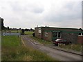
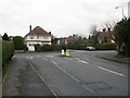
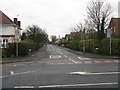
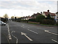
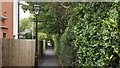
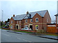
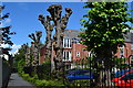
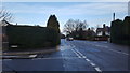
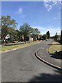
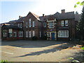
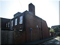
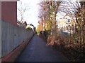
25 photos from this area
Area Information
Key information about the LE10 1LN including its size, population, and administrative classification.
- Area Type
- Postcode
- Area Size
- 4.1 hectares
- Population
- 1580
- Population Density
- 2338 people/km²
House Prices in LE10 1LN
29
Properties
£283,071
Average Sold Price
£110,000
Lowest Price
£480,000
Highest Price
Showing 29 properties
| Address | Type | Beds | Baths | Last Sale Price | Last Sale Date | |
|---|---|---|---|---|---|---|
| 7 Island Close, Hinckley, LE10 1LN | Detached | 2 | 2 | £480,000 | Sep 2025 | |
| 17 Island Close, Hinckley, LE10 1LN | house | - | - | £450,000 | Jun 2022 | |
| 13 Island Close, Hinckley, LE10 1LN | Bungalow | 3 | 2 | £360,000 | Jun 2021 | |
| 9 Island Close, Hinckley, LE10 1LN | Bungalow | - | - | £400,000 | Dec 2014 | |
| 22 Island Close, Hinckley, LE10 1LN | Detached | 4 | 2 | £320,000 | Sep 2013 | |
| 12 Island Close, Hinckley, LE10 1LN | house | - | - | £250,000 | Jun 2013 | |
| 32 Island Close, Hinckley, LE10 1LN | Bungalow | - | - | £203,000 | Jun 2011 | |
| 8 Island Close, Hinckley, LE10 1LN | Bungalow | - | - | £285,000 | Dec 2010 | |
| 18 Island Close, Hinckley, LE10 1LN | Detached | 4 | 3 | £340,000 | Aug 2010 | |
| 10 Island Close, Hinckley, LE10 1LN | Detached | 4 | - | £232,000 | Aug 2002 |
Page 1 of 3
Energy Efficiency in LE10 1LN
Amenities
Schools
| Rank | School | Type | Entry gender | Ages |
|---|
Explore more schools in this area
Go to Schools tabDemographics
Household Size
Two person
most common
Accommodation Type
Houses
most common
Tenure
90
majority
Ethnic Group
White
most common
Religion
N/A
most common
Household Composition
N/A
most common
Age
47
median
Adults (30-64 years)
most common
Household Deprivation
N/A
with no deprivation
NS-SEC
44
in Lower managerial occupations
Explore more demographic insights in this area
Go to Demographics tabPlanning
Planning Constraints
- Flood RiskPremium
- Ramsar Wetland SitesPremium
- Area of Outstanding Natural BeautyPremium
- Protected Nature ReservePremium
- Protected WoodlandPremium