Area Overview for LE10 1JA
Photos of LE10 1JA
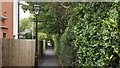
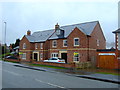
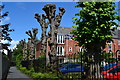
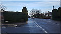
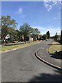
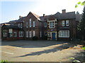
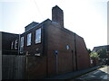
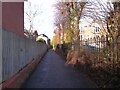
25 photos from this area
Area Information
Key information about the LE10 1JA including its size, population, and administrative classification.
- Area Type
- Postcode
- Area Size
- 9013 m²
- Population
- 2185
- Population Density
- 5277 people/km²
House Prices in LE10 1JA
23
Properties
£193,197
Average Sold Price
£1,000
Lowest Price
£880,000
Highest Price
Showing 23 properties
| Address | Type | Beds | Baths | Last Sale Price | Last Sale Date | |
|---|---|---|---|---|---|---|
| The Briars, 29 Spa Lane, Hinckley, LE10 1JA | Detached | 4 | 2 | £880,000 | Mar 2024 | |
| 39 Spa Lane, Hinckley, LE10 1JA | Terraced | 3 | 2 | £246,000 | May 2019 | |
| 11 Spa Lane, Hinckley, LE10 1JA | Bungalow | 4 | 1 | £297,000 | Apr 2018 | |
| 9 Spa Lane, Hinckley, LE10 1JA | Land | - | - | £1,000 | Aug 2017 | |
| 15 Spa Lane, Hinckley, LE10 1JA | Terraced | 3 | 1 | £170,000 | Jan 2017 | |
| 23 Spa Lane, Hinckley, LE10 1JA | Terraced | 2 | - | £133,000 | Jun 2016 | |
| 27 Spa Lane, Hinckley, LE10 1JA | house | - | - | £315,000 | Mar 2016 | |
| 7 Spa Lane, Hinckley, LE10 1JA | Semi-detached | 3 | 1 | £174,000 | May 2013 | |
| 19 Spa Lane, Hinckley, LE10 1JA | house | - | - | £85,000 | Oct 2012 | |
| 33 Spa Lane, Hinckley, LE10 1JA | house | - | - | £120,000 | Jul 2008 |
Page 1 of 3
Energy Efficiency in LE10 1JA
Amenities
Schools
| Rank | School | Type | Entry gender | Ages |
|---|
Explore more schools in this area
Go to Schools tabDemographics
Household Size
One person
most common
Accommodation Type
Houses
most common
Tenure
56
majority
Ethnic Group
White
most common
Religion
N/A
most common
Household Composition
N/A
most common
Age
47
median
Adults (30-64 years)
most common
Household Deprivation
N/A
with no deprivation
NS-SEC
28
in Lower managerial occupations
Explore more demographic insights in this area
Go to Demographics tabPlanning
Planning Constraints
- Flood RiskPremium
- Ramsar Wetland SitesPremium
- Area of Outstanding Natural BeautyPremium
- Protected Nature ReservePremium
- Protected WoodlandPremium