Area Overview for Kings Clipstone
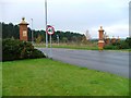
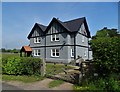
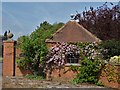
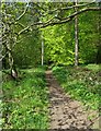
Photos of Kings Clipstone
Area Information
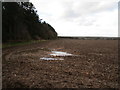
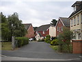
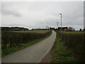
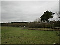
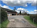
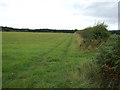
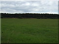
Living in Kings Clipstone offers a distinctly rural experience within a civil parish that spans 12.7 km². This setting provides a quiet backdrop for daily life, far from the noise of major urban centres. You will find a community defined by its relative isolation and connection to the natural surroundings of Nottinghamshire. The area does not feature extensive public transport links or high-density developments, making it ideal for those who prioritise peace over convenience. Residents navigate this space by car or foot, enjoying the open skies and greenery that characterise the countryside. The linear dimensions of the parish mean that distances between homes can vary, but the overall atmosphere remains consistent with a small, close-knit community. There are no bustling city squares or major commercial strips within this specific boundary. Instead, your neighbours are likely found in scattered clusters of houses or cottages. The landscape is a primary feature of living here, with the parish boundaries defining the scope of your daily environment. You will appreciate the lack of congestion and the availability of space. However, be aware that the village infrastructure is designed for a smaller population. Services and amenities are accessed via nearby towns rather than within the immediate parish limits. This setup suits homebuyers seeking a retreat from city life who are comfortable with travelling short distances for work or leisure. The factual reality is that Kings Clipstone is a static, low-density environment where nature dictates the pace of life.
- Area Type
- Parish
- Area Size
- 12.7 km²
- Population
- Not available
- Population Density
- Not available
Demographics
The community in Kings Clipstone reflects an older population profile, with a median age of 70. This indicates that the village is predominantly inhabited by retirees or those seeking a slower pace of life. The most common age grouping aligns with this demographic trend, creating a social environment where older residents are the norm. A total of 62% of households own their homes, suggesting strong stability within the community and a reduction in transient rental movements. This high level of ownership typically correlates with longer-term residents who have established deep roots in the local area. You will encounter a household composition typical of retired couples or singles living independently. The accommodation stock caters to those who do not require the multi-generational spacing of urban flats. Diversity in terms of ethnicity and religion is not explicitly quantified in the available statistics, but the overall demographic picture points toward a homogenous group shaped by these age factors. Living here means joining a circle of neighbours who share a similar life stage and lifestyle priorities. You should anticipate a community where social interactions revolve around local gatherings, perhaps in village halls or community centres, rather than the fast-paced networking of younger urban zones. The lower median age translates directly to a quieter atmosphere during daylight hours, as many families with school-aged children are less likely to be present permanently.
Household Size
Accommodation Type
Tenure
Ethnic Group
Religion
Household Composition
Age
Household Deprivation
NS-SEC
Explore more demographic insights in this area
Go to Demographics tabPlanning
Planning Constraints
- Flood RiskLocked
- Ramsar Wetland SitesLocked
- Area of Outstanding Natural BeautyLocked
- Protected Nature ReserveLocked
- Protected WoodlandLocked
- Crime RiskLocked