Area Overview for Killamarsh West Ward
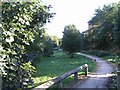
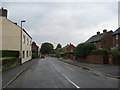
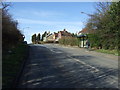
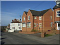
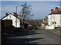
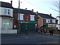
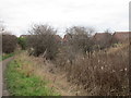
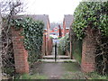
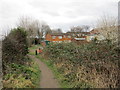
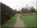
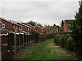
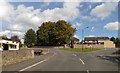
Photos of Killamarsh West Ward
Area Information
Killamarsh West Ward is a distinct community within the borough, covering just 3.0 square kilometres. This compact size shapes daily life for the approximately 1,260 residents who call the area home. The ward operates as a suburban district, offering a defined neighbourhood feel rather than a sprawling urban landscape. Living in Killamarsh West Ward means navigating a locality where space is relatively limited but community presence is significant. The area sits within the wider context of the local borough, providing access to the amenities that define regional life. You will find a mix of residential properties that serve current families and individuals. The population density of 425 people per square kilometre suggests a settled population without the congestion found in high-rise city centres. Homes in Killamarsh West Ward are situated in an environment that balances quiet residential streets with nearby access to broader services. This ward represents a specific slice of local life where the resident population is established and familiar with the local geography. For those considering moving to this area, the scope is clear: a defined zone with a specific number of households and a known scale. The character of Killamarsh West Ward is defined by these concrete boundaries and the people who fulfill them. It is a place where you know the limits of your commute and the extent of your local interactions.
- Area Type
- District Borough Unitary Ward
- Area Size
- 3.0 km²
- Population
- 1260
- Population Density
- 425 people/km²
Demographics
The community profile of Killamarsh West Ward reveals a population significantly older than the national average. The median age stands at 70 years, which defines the demographic heart of the ward. This age profile suggests the area is a retirement destination or a preferred location for older adults seeking a quieter lifestyle. Consequently, the most common age range reflects this senior majority throughout the ward. Household dynamics mirror this age structure, with family units likely comprising widowers, widows, or couples rather than young parents. A striking 72% of residents own their homes outright, indicating a deep sense of stability among the population. This high ownership rate contrasts with many rush-to-metropolis areas where renting dominates the housing market. You are more likely to meet established neighbours who have remained in Killamarsh West Ward for decades than tenants moving transiently for work. The accommodation types available reflect the needs of an older demographic, though specific data on property styles is not provided in the current records. The social fabric here is built on long-term residency rather than short-term leases. There are no recorded statistics for predominant ethnic groups or religious affiliations in the available data, but the stability of the home ownership figure points to a committed community structure. Living among an age profile of 70 offers a particular rhythm to daily life, one characterised by neighbours who have time to build lasting friendships over generations.
Household Size
Accommodation Type
Tenure
Ethnic Group
Religion
Household Composition
Age
Household Deprivation
NS-SEC
Explore more demographic insights in this area
Go to Demographics tabPlanning
Planning Constraints
- Flood RiskPremium
- Ramsar Wetland SitesPremium
- Area of Outstanding Natural BeautyPremium
- Protected Nature ReservePremium
- Protected WoodlandPremium
- Crime RiskPremium