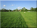
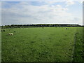
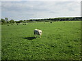
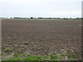
Area Overview for Horsington
Photos of Horsington

Area Information
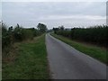
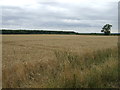
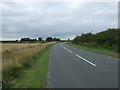
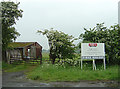
Horsington stands as a distinct civil parish within England, covering a total area of 10.6 square kilometres. The character of this location is defined by its established nature and significant level of occupancy, making it a settled part of the wider region. Living in Horsington typically involves navigating a community where the majority of residents have a long-term commitment to their homes. The area is not a new development but rather a mature locality where infrastructure and patterns of living have been established over many years. This setting offers a specific type of demographic environment, one that differs markedly from urban centres or rapidly growing commuter hubs. You will experience daily life in a space where the pace is influenced by the existing population rather than new construction projects. The parish contains a mix of fittings and structures that cater to a specific age demographic, which shapes the local services and social interactions. Your everyday journey involves acknowledging the historical footprint of the area while accepting the current state of its amenities. The size of the property base relative to the total land area suggests a development that balances residential space with the surrounding geography. Understanding this physical reality helps you gauge what life entails when moving to or considering homes in Horsington today.
- Area Type
- Parish
- Area Size
- 10.6 km²
- Population
- Not available
- Population Density
- Not available
Demographics
The community profile in Horsington reveals an older demographic, with a median age of 70 years. Most residents fall into age ranges characterised by retirement or older adulthood, which fundamentally shapes the social and commercial landscape. You are likely to encounter neighbours who have lived in the area for decades, many having purchased their properties during previous housing booms. This age structure influences local demand, particularly for lifelong residents and those planning to move near family members. Home ownership remains the dominant housing tenure, with an impressive 84% of households owning their property outright or with a mortgage. This high figure indicates that investors and large-scale rental providers play a minor role in the local market. The economy of the parish reflects this stability, as most adults here are established rather than transient digital nomads or young professionals seeking short-term leases. Household composition data reinforces the picture of a settled population rather than one defined by dynamic shifts in family size or structure. When you consider living in Horsington, you join a cohort where stability is the norm. The accommodation types available will largely mirror the choices made by these long-term homeowners.
Household Size
Accommodation Type
Tenure
Ethnic Group
Religion
Household Composition
Age
Household Deprivation
NS-SEC
Explore more demographic insights in this area
Go to Demographics tabPlanning
Planning Constraints
- Flood RiskPremium
- Ramsar Wetland SitesPremium
- Area of Outstanding Natural BeautyPremium
- Protected Nature ReservePremium
- Protected WoodlandPremium
- Crime RiskPremium