Area Overview for Holbeach Town Ward
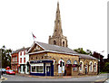
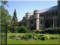
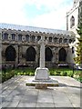
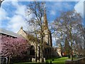
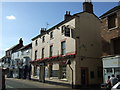
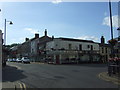
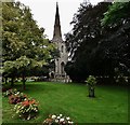
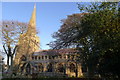
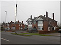
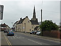
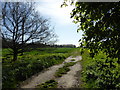
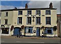
Photos of Holbeach Town Ward
Area Information
Living in Holbeach Town Ward offers a specific type of neighbourhood experience characterised by its compact size and established community. This district covers 5.7 km², containing a total population of 2,178 residents. You will find that the area feels intimate and manageable, with a population density of 385 people per km². This density suggests a settled environment where locals know one another, yet there is still scope for a sense of familiar routine. The ward operates within the framework of the district borough unitary system, providing the local governance structure you would expect from a defined English neighbourhood. Residents navigate daily life in a space where the scale of the environment is directly proportional to its proximity to the wider region. When you consider living in Holbeach Town Ward, you are choosing an area where the built environment and natural surroundings coexist within a clearly bounded geographical limit. The small footprint means amenities and essential services are likely within easy reach for most houses in Holbeach Town Ward.
- Area Type
- District Borough Unitary Ward
- Area Size
- 5.7 km²
- Population
- 2178
- Population Density
- 385 people/km²
Demographics
The community profile of Holbeach Town Ward reveals a settled population with distinct demographic characteristics. The median age stands at 70 years, indicating that the residents are notably older than the national average. You will find that this age range dominates the total population count within the ward boundaries. This statistic suggests the area functions primarily as a retirement location or a destination for families seeking a slower pace of life away from city centres. With 66% of households reporting home ownership, the majority of people in Holbeach Town Ward have secured their own property. These figures indicate a stable area where long-term residents populate the housing stock rather than transient tenants cycling through properties. The house ownership rate is significantly higher than typical urban rental markets, reflecting the demographic preference for stability. As you explore homes in Holbeach Town Ward, you will notice that the existing stock accommodates this older demographic with high occupancy rates among existing owners. The total household composition aligns with the accommodation type data, presenting a uniform picture of residency.
Household Size
Accommodation Type
Tenure
Ethnic Group
Religion
Household Composition
Age
Household Deprivation
NS-SEC
Explore more demographic insights in this area
Go to Demographics tabPlanning
Planning Constraints
- Flood RiskPremium
- Ramsar Wetland SitesPremium
- Area of Outstanding Natural BeautyPremium
- Protected Nature ReservePremium
- Protected WoodlandPremium
- Crime RiskPremium