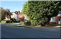
Area Overview for Hinckley De Montfort Ward
Photos of Hinckley De Montfort Ward


Area Information
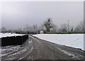
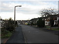
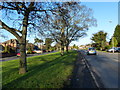
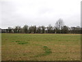
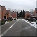
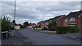
Living in Hinckley De Montfort Ward offers a distinct experience defined by its compact footprint and mature character. This district borough unitary ward covers an area of just 5.2 km², making it a contained neighbourhood within the wider Leicestershire landscape. Despite its small physical size, the ward provides a complete domestic setting for its residents. You will find a community where daily life revolves around local amenities within a walkable distance from most homes. The ward sits firmly in England, contributing to the local identity of this specific geographical pocket. The scale of the area suggests a quiet pace of life rather than the rapid rhythms of a larger city centre. This compactness means that the community feel is likely very strong, with neighbours often knowing one another well. When searching for homes in this specific ward, your options are defined by physical limitations but also by established neighbourhoods. The small area size dictates that there are strict boundaries to where you can shop or run errands. You are essentially trading urban sprawl for a tightly knit environment. This distinction is crucial when comparing your targets against larger, more sprawling districts. The 5.2 km² metric confirms that this is a premium, concise living space.
- Area Type
- District Borough Unitary Ward
- Area Size
- 5.2 km²
- Population
- Not available
- Population Density
- Not available
Demographics
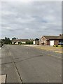
The community within Hinckley De Montfort Ward reflects a settled population with strong roots in the area. The median age stands at 70, indicating that the majority of residents are senior citizens. This age profile shapes the local demand for specific services and social spaces. Most households consist of individuals or couples, which aligns closely with the older demographic prevalent in this age bracket. The household composition data suggests a stable environment without significant churn or transient populations. Home ownership is extremely high, with 77% of all properties occupied by their owners. This figure creates a neighbourhood defined by long-term residents rather than tenants or investors. When considering the accommodation type across the ward, the inventory primarily serves the owner-occupied market. You will encounter fewer rental schemes compared to typical commuter towns. The predominant ethnic group and religious composition add to the traditionally established character of the area. This deep-rooted ownership structure means that planning policies often require community consent for any significant changes. The demographics suggest a place where change happens slowly and deliberately.
Household Size
Accommodation Type
Tenure
Ethnic Group
Religion
Household Composition
Age
Household Deprivation
NS-SEC
Explore more demographic insights in this area
Go to Demographics tabPlanning
Planning Constraints
- Flood RiskPremium
- Ramsar Wetland SitesPremium
- Area of Outstanding Natural BeautyPremium
- Protected Nature ReservePremium
- Protected WoodlandPremium