Area Overview for Hatton Park Ward
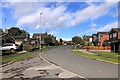
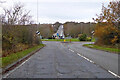
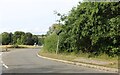
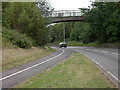
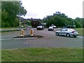
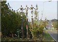
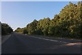
Photos of Hatton Park Ward
Area Information
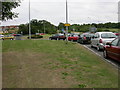
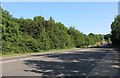
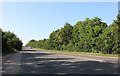
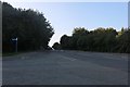
Living in Hatton Park Ward offers a quiet experience in a small community covering 6.4 square kilometres. This district borough unitary ward holds a population of 2,832 residents, creating an intimate atmosphere where neighbours often know one another by sight. The layout supports a calm daily rhythm, distinct from the density found in larger urban zones. You find a setting defined by its manageable scale rather than high-rise developments or congested streets. The area functions as a self-contained locality where services are focused and traffic volumes remain low compared to the surrounding wider region. For those considering homes in Hatton Park Ward, the sense of place is immediate upon arrival. The ward does not extend far, meaning your commute distances to neighbouring settlements are unlikely to be lengthy. Daily life here revolves around local necessities and a peaceful environment free from the congestion of major city centres. You gain access to a defined postcode area where the built-up space respects natural boundaries. The character of Hatton Park Ward appeals to people seeking stability and a lower-key lifestyle without the isolation of remote countryside locations. It is a spot where the community identity remains strong and residential tranquility is the priority.
- Area Type
- District Borough Unitary Ward
- Area Size
- 6.4 km²
- Population
- 2832
- Population Density
- 442 people/km²
Demographics
The community profile in Hatton Park Ward reflects a settled, mature population. Data shows the median age of residents is 70 years, with the most common age range captured within the total demographic record. This indicates a neighbourhood where many families have lived for decades, and current residents are likely approaching or are already retired. A high proportion of households own their own homes, with 74% of residents having achieved this security. This ownership stability is often found in areas with lower turnover rates and established street communities. Although the data does not specify ethnic majority groups or religious breakdowns, the consistent ownership figure suggests deep local roots. The demographic makeup is heavily weighted toward older adults, which influences local spending habits and educational needs. You will encounter fewer young families compared to younger urban zones, as the age profile skews significantly toward senior citizens. This does not mean the area is empty, but that the social energy derives from long-term settlement rather than transient population growth. For you as a prospective buyer, understanding this age distribution is vital for community engagement. If you plan to raise children, the immediate surroundings may not offer the youth-focused interactions found in more mixed-age wards. However, the high ownership rate of 74% provides a stable market where sellers have lived here longer. The demographic reality paints a picture of a quiet, senior-heavy village feel within a defined ward boundary.
Household Size
Accommodation Type
Tenure
Ethnic Group
Religion
Household Composition
Age
Household Deprivation
NS-SEC
Explore more demographic insights in this area
Go to Demographics tabPlanning
Planning Constraints
- Flood RiskPremium
- Ramsar Wetland SitesPremium
- Area of Outstanding Natural BeautyPremium
- Protected Nature ReservePremium
- Protected WoodlandPremium
- Crime RiskPremium