Area Overview for Hassop
Photos of Hassop
Area Information
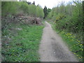
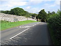
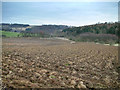
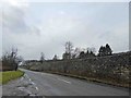
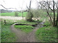
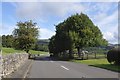
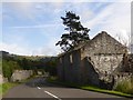
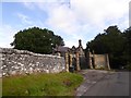
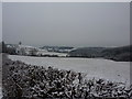
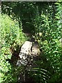
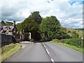
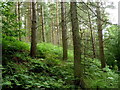
Hassop is a small civil parish located in the Peak District, covering an area of 7.0 km². The community offers a tranquil rural setting that appeals to those seeking a slower pace of life away from urban congestion. Living in Hassop means embracing a lifestyle defined by wide-open spaces and a low-density environment. The locality provides the essential backdrop for a quiet existence, surrounded by the natural beauty of the Derbyshire countryside. You will find that daily life here revolves around the charm of the village rather than the rush of a city commute. The compact size of the parish allows residents to know their neighbours and maintain a tight-knit community structure. This area stands out as a peaceful retreat where the primary focus remains on simplicity and connection with nature. Prospective buyers attracted to the countryside will recognise Hassop as a genuine embodiment of rural England. The parish offers a stable and predictable environment for those who prioritise stillness and space over urban excitement. You can enjoy the benefits of rural living without the noise or traffic that typically distracts from the natural tranquillity.
- Area Type
- Parish
- Area Size
- 7.0 km²
- Population
- Not available
- Population Density
- Not available
Demographics
The community in Hassop reflects a deeply established local population with a median age of 70. Age: Total represents the most common demographic grouping within this parish. You are looking at an area where long-term residency is the norm, contrasting sharply with younger, transient populations found elsewhere. This age profile suggests a neighbourhood composed of retired couples or established families who have settled permanently in the region. Home ownership stands at 77%, which significantly outpaces the national average and indicates a stable resident base. Nearly four out of five households in Hassop own their property outright. This high rate of ownership implies that the market is dominated by people who have invested in the area for the long term rather than temporary renters. The household composition reinforces the picture of a settled community where residents are embedded in the local fabric. There is little evidence of recent migration or a surge in short-term tenancies. Living here offers you the chance to be part of a community that has maintained its character for decades. The demographic stability means you can expect a predictable social environment year after year.
Household Size
Accommodation Type
Tenure
Ethnic Group
Religion
Household Composition
Age
Household Deprivation
NS-SEC
Explore more demographic insights in this area
Go to Demographics tabPlanning
Planning Constraints
- Flood RiskLocked
- Ramsar Wetland SitesLocked
- Area of Outstanding Natural BeautyLocked
- Protected Nature ReserveLocked
- Protected WoodlandLocked
- Crime RiskLocked