Area Overview for Hallam Fields Ward
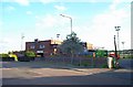
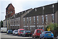
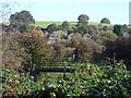
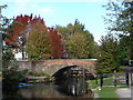
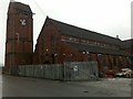
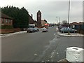
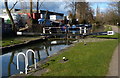
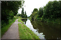
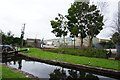
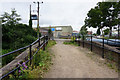
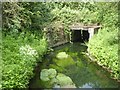
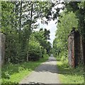
Photos of Hallam Fields Ward
Area Information
Living in Hallam Fields Ward offers a distinct experience within the Borough of Erewash in Derbyshire. This electoral ward covers a compact 2.3 square kilometres of land situated in the East Midlands region. You will find the ward located near the given coordinates, positioning it in close proximity to the towns of Ilkeston and Derby. The area functions as a specific administrative unit with the identifier E05010610, linking it firmly to the broader local government structure. Daily life here is defined by its location within the county and its relationship to these nearby urban centres. Residents navigate a landscape that is part of the Established Midlands. The ward's boundaries are clearly drawn, ensuring that local services and planning fall under the jurisdiction of the Borough of Erewash. You are effectively living on the outskirts of larger population hubs while maintaining a defined local identity. The physical footprint of the ward is small relative to other districts, which often means amenities are either immediately accessible or require a short journey into neighbouring settlements. This compact nature shapes how you experience the community and plan your daily commute. The area provides a foothold into the wider county of Derbyshire without being isolated from the main infrastructure links found in Ilkeston and Derby.
- Area Type
- District Borough Unitary Ward
- Area Size
- 2.3 km²
- Population
- Not available
- Population Density
- Not available
Demographics
The community within Hallam Fields Ward is characterised by a significantly older population profile. You will find that the median age here stands at 70 years, indicating a resident base far older than the national average. While specific data for the most common age range is not broken down beyond a total category, the high median figure confirms that retirees and older adults form the core of the local demographic. Home ownership is extremely prevalent in this ward, with 81 per cent of households owning their properties outright. This figure suggests a settled community where residents have likely lived in their homes for decades. The area does not show strong indicators of a young professional rental market or high student numbers. You should expect a neighbourhood where stability is the norm rather than a hub for transient workers. The household composition data points to a total snapshot without distinguishing single-person or family units, but the high ownership rate hints at large families or couples down-sizing to retire. There is no data provided on ethnic diversity or religious breakdown for this specific ward, so you cannot make assumptions about cultural heterogeneity. The demographic landscape is defined by longevity and property ownership rather than youthful diversity. Living in Hallam Fields Ward means joining a community where the average resident is much older than the typical UK homebuyer.
Household Size
Accommodation Type
Tenure
Ethnic Group
Religion
Household Composition
Age
Household Deprivation
NS-SEC
Explore more demographic insights in this area
Go to Demographics tabPlanning
Planning Constraints
- Flood RiskPremium
- Ramsar Wetland SitesPremium
- Area of Outstanding Natural BeautyPremium
- Protected Nature ReservePremium
- Protected WoodlandPremium
- Crime RiskPremium