Area Overview for Green Fairfield
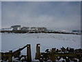
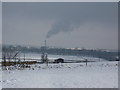
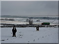
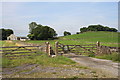
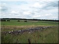
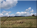
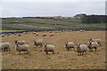
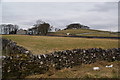
Photos of Green Fairfield
Area Information
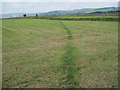
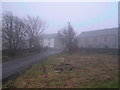
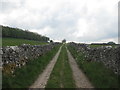
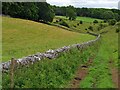
Green Fairfield is a civil parish situated in England, covering a total land area of 5.4 square kilometres. Living in Green Fairfield offers residents a defined community with clear boundaries and a distinct character shaped by its rural parish status. The area provides a settled environment where daily life revolves around local needs rather than the high velocity of urban centres. Prospective homebuyers looking for homes in Green Fairfield should understand that this is a compact yet complete community. The physical scale of the parish allows for a tight-knit social fabric while providing sufficient space for various residential developments. Residents enjoy a lifestyle disconnected from major metropolitan pressures but still connected to essential services. Understanding the lay of the land helps potential moves into the area feel less abstract and more grounded in reality. Every house here sits within a specific administrative footprint that influences local governance and community planning. This context matters when considering the long-term viability of your investment or your future quality of life. Green Fairfield stands as a stable presence in the broader shire, offering a predictable rhythm to day-to-day living.
- Area Type
- Parish
- Area Size
- 5.4 km²
- Population
- Not available
- Population Density
- Not available
Demographics
The community profile of Green Fairfield is defined by a significant older demographic, with a median age of 70 years. This statistic indicates that the population is substantially older than the national average. Age range data confirms that the total population clusters around this high median mark, reflecting a retired or semi-retired neighbourhood. Seventy-three per cent of households own their homes entirely, a figure that underscores the long-term nature of residence in the parish. Such a high rate of ownership typically suggests stability and a deep-rooted connection to the locality. Household composition and accommodation type records reflect a population structure where families often downsize or pensions are held for extended periods. You will find fewer young professionals compared to other parishes due to this age distribution. The predominance of older residents shapes local spending habits, service demands, and general community interaction patterns. When evaluating schools near Green Fairfield, consider that while educational facilities exist for younger generations, the immediate neighbourhood may be quieter than more youthful districts. The demographic make-up remains consistent with the established social fabric found in many traditional English parishes.
Household Size
Accommodation Type
Tenure
Ethnic Group
Religion
Household Composition
Age
Household Deprivation
NS-SEC
Explore more demographic insights in this area
Go to Demographics tabPlanning
Planning Constraints
- Flood RiskPremium
- Ramsar Wetland SitesPremium
- Area of Outstanding Natural BeautyPremium
- Protected Nature ReservePremium
- Protected WoodlandPremium
- Crime RiskPremium