Area Overview for Great Hucklow
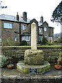
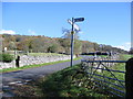
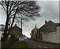
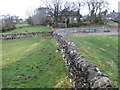
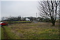
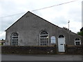
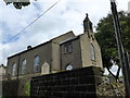
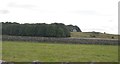
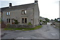
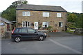
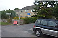
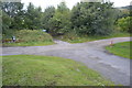
Photos of Great Hucklow
Area Information
Living in Great Hucklow offers a distinct experience within the small civil parish located in England. This relative settlement covers a compact area of 4.5 square kilometres, creating a close-knit environment for those seeking a quieter lifestyle away from major urban centres. The village relies on specific local infrastructure and provides a setting defined by its under four-five square kilometre footprint. Residents here enjoy a space that balances rural tranquility with essential local amenities, making it a practical choice for those valuing a smaller community scale over metropolitan convenience. The day-to-day rhythm of life in Great Hucklow is shaped by its rural character and the limited number of households spread across the parish boundaries. You will find yourself engaging with neighbours in a setting where the boundaries of the parish are clearly defined yet permeable to the surrounding countryside. This is a place where daily commuting distances to nearby towns can be short, or where the primary goal is finding a home in a location with established local services. The area presents a straightforward proposition for homebuyers who prioritise a contained rural environment over extensive urban connectivity or a dense neighbourhood layout. Your focus here shifts to finding value within a small, manageable geographical space.
- Area Type
- Parish
- Area Size
- 4.5 km²
- Population
- Not available
- Population Density
- Not available
Demographics
The community profile of Great Hucklow reveals specific demographic trends that define the local population structure. The median age in the area stands at 70, indicating that the residents are significantly older than the national average. This high median figure suggests a village dominated by retirees and older established households rather than young families. Approximately 76 per cent of homes in Great Hucklow are owner-occupied, meaning most residents have purchased their properties outright or hold a significant equity stake. You will encounter a neighbourhood where long-term residents form the majority of the population, leading to a stable social fabric. The high ownership rate correlates closely with the older age profile, as purchase decisions often precede retirement or coincide with downsizing from larger properties. While the data does not explicitly detail household composition numbers or predominant ethnic groups, the overall demographic picture paints a clear image of an ageing population. There is no indication of a transient renter market or significant youth influx. Instead, the area functions as a retirement destination or a home for those moving away from city life. When considering schools near Great Hucklow, prospective buyers must acknowledge the age skew of the current population. With most residents being 70 years old, the demand for primary education facilities may be lower than in areas with families of school-age children. This demographic reality influences the local educational landscape and the kinds of community groups that might thrive. The area remains defined by its mature inhabitants who have settled into their homes as the dominant housing tenure type.
Household Size
Accommodation Type
Tenure
Ethnic Group
Religion
Household Composition
Age
Household Deprivation
NS-SEC
Explore more demographic insights in this area
Go to Demographics tabPlanning
Planning Constraints
- Flood RiskPremium
- Ramsar Wetland SitesPremium
- Area of Outstanding Natural BeautyPremium
- Protected Nature ReservePremium
- Protected WoodlandPremium
- Crime RiskPremium