Area Overview for Grassmoor
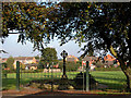
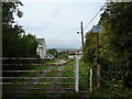
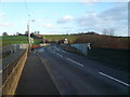
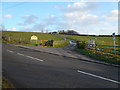
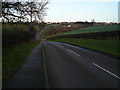
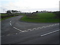
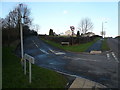
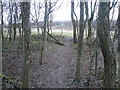
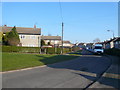
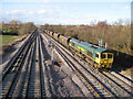
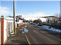
Photos of Grassmoor
Area Information
Grassmoor is a compact built-up area spanning 79.4 hectares, offering a quiet, mature residential environment. With a median age of 70, the community is predominantly older, suggesting a settled, long-term population. The area blends practical living with proximity to essential services. Residents benefit from nearby amenities such as Grassmoor Primary School, rated ‘good’ by Ofsted, and a range of retail options including Morrisons and Co-op outlets. Chesterfield Railway Station is within reach, providing connections to broader regional networks. Daily life here is characterised by a balance of local convenience and ease of access to transport. While the area is small, it supports a functional lifestyle, with shops, transport hubs, and schools all within practical reach. Grassmoor suits those seeking a low-key, established community with straightforward access to services, though its demographic profile indicates a population that values stability and familiarity over dynamic urban growth.
- Area Type
- Built Up Area 250
- Area Size
- 79.4 hectares
- Population
- Not available
- Population Density
- Not available
Grassmoor’s lifestyle is defined by its accessible amenities, including five retail outlets such as Morrisons, Co-op North, and Co-op Petrol, providing everyday shopping and fueling needs. The nearby Chesterfield Railway Station and coach station offer transport options for travel beyond the area. While parks or leisure facilities are not detailed in the data, the presence of retail and transport hubs suggests a practical, service-oriented daily life. The community’s character is shaped by its mature population, with amenities tailored to their needs. Residents can expect convenience in accessing essentials, though the area’s compact size means larger recreational options may require venturing further afield.
Amenities
Schools
Grassmoor Primary School is the sole school explicitly listed in the data, serving the local community. As a primary school with a ‘good’ Ofsted rating, it provides a solid foundation for young learners. The absence of secondary schools or additional educational institutions in the dataset means families may need to look beyond Grassmoor for comprehensive schooling. However, the proximity of Chesterfield Railway Station and nearby retail hubs suggests that commuting to other educational facilities is feasible. For parents prioritising primary education, Grassmoor’s school offers a reliable option, though secondary schooling would require planning for external options.
| Rank | School | Type | Entry gender | Ages |
|---|
Explore more schools in this area
Go to Schools tabDemographics
Grassmoor’s population is defined by its median age of 70, the highest in the dataset, indicating a community largely composed of older residents. Home ownership stands at 55%, suggesting a mix of owner-occupied properties and rental units. The data does not specify household composition or accommodation types, but the overall figures imply a population that may include retirees or long-term residents. Deprivation levels are not explicitly provided, but the age profile suggests potential challenges in accessing services tailored to younger demographics. The area’s demographic makeup reflects a mature, possibly less transient population, which can influence local services and community dynamics. For prospective buyers, this profile may align with those seeking a quiet, established environment rather than a rapidly evolving neighbourhood.
Household Size
Accommodation Type
Tenure
Ethnic Group
Religion
Household Composition
Age
Household Deprivation
NS-SEC
Explore more demographic insights in this area
Go to Demographics tabPlanning
Planning Constraints
- Crime RiskPremium