Area Overview for Frithville and Westville
Photos of Frithville and Westville
Area Information
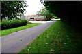
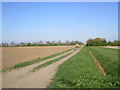
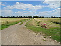
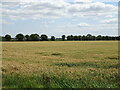
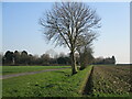
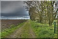
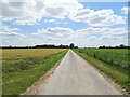
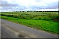
Living in Frithville and Westville means settling into a civil parish that covers an expansive 30.2 square kilometres. This large area offers significant space for residents, distinguishing it from smaller, denser urban settlements. The landscape provides a backdrop for daily life, offering a broad footprint for neighbourhoods to develop without the intensity of city living. You will find yourself in a region where the scale of the settlement allows for a distinct sense of place. The setting defines the pace of life here, moving away from the congestion found in larger towns. The community is anchored by its history and its physical boundaries. As a civil parish, the administration and local governance reflect long-standing structures common in the region. Residents navigate an environment where open space is a dominant feature. This is not a rapidly changing urban fringe but an established area with defined characteristics. The size of the parish influences how people interact with their surroundings, encouraging a slower lifestyle compared to compact housing estates. Daily life in Frithville and Westville revolves around this expansive terrain. You are not confined to a small postcode but have access to a wider territory within your own civil parish. The area's identity is tied to its size and its status as a distinct administrative unit in England. This structure supports a lifestyle where distance and space are significant factors in planning your routine.
- Area Type
- Parish
- Area Size
- 30.2 km²
- Population
- Not available
- Population Density
- Not available
Demographics
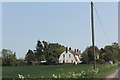
The community within Frithville and Westville has a unique demographic profile that shapes the local atmosphere. The median age is 70, indicating that the population is significantly older than the national average. This age profile suggests a retirement community where many residents enjoy their later years. Most common age data confirms that the total population skews towards older demographics, which influences everything from local services to social activities. Home ownership stands at 77 per cent, reflecting a stable settlement where long-term residents have purchased properties. This high rate of ownership is typical for areas with a mature population. It means that financial mobility might be slower, as fewer people move in to replace those who stay. The household composition data encompasses the total demographics, showing how families and individuals have settled over time. Diversity metrics within the parish show the predominant ethnic group and religious affiliations of the residents. These figures highlight the cultural make-up of the community without specific breakdowns. The accommodation type data covers the total housing stock, revealing how the built environment accommodates the demographic needs of an older population. With seven out of ten homes owned by their occupants, the society is deeply rooted in the locality. This stability creates a predictable environment for those considering moving here.
Household Size
Accommodation Type
Tenure
Ethnic Group
Religion
Household Composition
Age
Household Deprivation
NS-SEC
Explore more demographic insights in this area
Go to Demographics tabPlanning
Planning Constraints
- Flood RiskPremium
- Ramsar Wetland SitesPremium
- Area of Outstanding Natural BeautyPremium
- Protected Nature ReservePremium
- Protected WoodlandPremium