Area Overview for Fosse Stoney Cove Ward
Photos of Fosse Stoney Cove Ward
Area Information
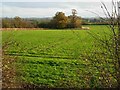
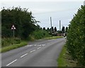
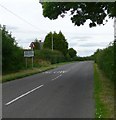
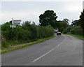
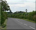
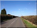
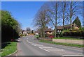
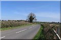
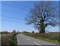
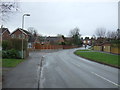
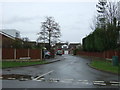
Living in Fosse Stoney Cove Ward means residing within a defined district council ward of Blaby District in the East Midlands. This administrative area covers 12.7 km² and falls under the Leicestershire South parliamentary constituency. The ward coordinates sit approximately at 52.5°N, 1.26°W, placing it firmly in the county of Leicestershire. It represents a specific locality used for local government elections and service delivery within the broader Blaby District. The area forms part of a collection of parishes including Aston Flamville, Croft, Elmesthorpe, Huncote, Leicester Forest West, Sapcote, Potters Marston, Sharnford, and Stoney Cove. Residents are functionally connected to Leicester, operating within the Leicester Travel to Work Area. This connection integrates the ward into the economic sphere of one of England's largest cities while maintaining local administrative boundaries. The location offers a structured environment where residents can engage with local governance at the ward level. Understanding the specific geography and administrative status of Fosse Stoney Cove Ward provides context for navigating local services and council plans.
- Area Type
- District Borough Unitary Ward
- Area Size
- 12.7 km²
- Population
- Not available
- Population Density
- Not available
Demographics
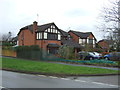
The community profile of Fosse Stoney Cove Ward reflects an older demographic structure. The population has a median age of 70 years, indicating a significant proportion of elderly residents compared to the national average. This age distribution shapes the local needs and community engagement patterns within the ward. Home ownership stands at 81% of households, suggesting a market dominated by owners rather than renters. This high ownership rate typically correlates with stability and long-term settling within the locality. Household composition and accommodation type data available indicates a total mix of living arrangements, though precise breakdowns by family size or dwelling type are not detailed in the current statistics. The area does not publish specific data on the most common age range or predominant ethnic group in the provided records. Religion and urban-rural classification are also not included in the available information. Consequently, the demographic picture is defined primarily by the age and ownership statistics that are confirmed. This profile paints a picture of a settled community with a mature resident base.
Household Size
Accommodation Type
Tenure
Ethnic Group
Religion
Household Composition
Age
Household Deprivation
NS-SEC
Explore more demographic insights in this area
Go to Demographics tabPlanning
Planning Constraints
- Flood RiskPremium
- Ramsar Wetland SitesPremium
- Area of Outstanding Natural BeautyPremium
- Protected Nature ReservePremium
- Protected WoodlandPremium
- Crime RiskPremium