Area Overview for Fernwood
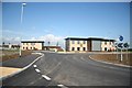
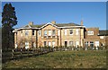
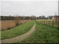
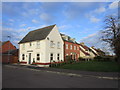
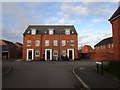
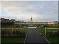
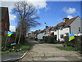
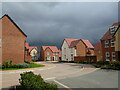
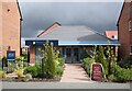
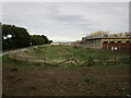
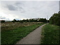
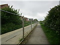
Photos of Fernwood
Area Information
Fernwood is a compact built-up area spanning 67.3 hectares, situated in England. Its population, while not explicitly quantified, reflects a community where the median age is 70, suggesting a mature demographic profile. This area is characterised by its proximity to essential services and transport links, making it practical for daily living. The presence of multiple retail outlets and railway stations within reach indicates a well-connected environment, ideal for those prioritising convenience. Fernwood’s appeal lies in its balance of accessibility and a quieter, established residential character. With 71% of homes owner-occupied, it fosters a sense of stability. Whether you’re seeking a retirement community or a place with reliable infrastructure, Fernwood offers a straightforward, no-frills lifestyle. Its size and layout ensure that amenities are within walking or short driving distance, reducing the need for long commutes. For buyers looking for a settled, low-maintenance environment with practical connectivity, Fernwood provides a clear proposition.
- Area Type
- Built Up Area 250
- Area Size
- 67.3 hectares
- Population
- Not available
- Population Density
- Not available
Residents of Fernwood have access to essential retail and transport hubs within practical reach. The area is served by five retail outlets, including Tesco Balderton, Sainsburys Balderton, and Farmfoods Balderton, ensuring everyday shopping needs are met locally. Three named railway stations—Newark North Gate, Newark Castle, and Rolleston—provide direct links to regional transport networks, facilitating travel to nearby cities and towns. While the data does not mention parks or leisure facilities, the presence of multiple retail and rail options suggests a focus on practicality over expansive recreational spaces. The compact size of Fernwood means amenities are within walking or short driving distance, reducing the need for lengthy commutes. This combination of retail convenience and transport access supports a lifestyle that prioritises efficiency and ease of movement.
Amenities
Schools
| Rank | School | Type | Entry gender | Ages |
|---|
Explore more schools in this area
Go to Schools tabDemographics
The population of Fernwood has a median age of 70, with the most common age range encompassing all ages. This suggests a community that is predominantly older, which may influence local services and amenities. Home ownership is high, at 71%, indicating a strong presence of long-term residents. The data does not specify household composition or accommodation types, but the overall figures imply a stable, low-turnover population. The area’s demographic profile does not include detailed information on ethnicity or religion, so broader generalisations are not possible. For those considering Fernwood, the mature age profile may align with retirement or downsizing needs. The lack of specific data on diversity or deprivation means the area’s social fabric remains less defined in public records. However, the high home ownership rate suggests a community that values permanence and investment in local property.
Household Size
Accommodation Type
Tenure
Ethnic Group
Religion
Household Composition
Age
Household Deprivation
NS-SEC
Explore more demographic insights in this area
Go to Demographics tabPlanning
Planning Constraints
- Crime RiskPremium