Area Overview for Eagle and Swinethorpe
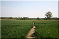
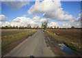
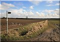
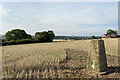
Photos of Eagle and Swinethorpe
Area Information
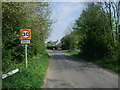
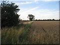
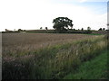
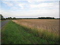
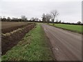
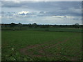
Eagle and Swinethorpe is a civil parish covering 14.8 km², situated within the rural landscape of England. You will find this area characterised by quiet settlements rather than dense urban sprawl. The layout offers a sparse footprint compared to larger towns, giving residents a sense of openness. Daily life here revolves around the natural surroundings and semi-rural living rather than city-centric amenities. This locality provides a distinct alternative to busy commuter hubs for those seeking solitude. The parish structure supports a traditional community feel where neighbours know each other across a relatively small geographical spread. You can expect a pace of life dictated by the seasons rather than traffic lights or rush hours. The landscape presents few planning constraints, yet retains specific environmental features worth noting. Whether you plan to rest nearby or explore the wider countryside, the scale of Eagle and Swinethorpe ensures no large-scale development encroaches on your peace.
- Area Type
- Parish
- Area Size
- 14.8 km²
- Population
- Not available
- Population Density
- Not available
Demographics
The community in Eagle and Swinethorpe shows a clear demographic skew towards older residents. The median age sits at 70, which places this parish significantly above the national average for most English counties. You will encounter a population dominated by retirees and established families rather than young professionals or students. Home ownership stands at an impressive 81%, indicating a settled, long-term community where financial instability is rare among residents. This high rate suggests that most households own their properties outright or hold significant equity. Household composition reflects this stability, with fewer transient populations moving through the area in short cycles. The accommodation types mirror the ownership figures, reinforcing a culture of permanence. You do not find the high density of rental units typical of student zones or major business districts. The ethnic diversity and religious makeup follow standard national patterns, though specific breakdowns remain confidential in public ledgers. Essentially, you are joining a neighbourhood of people who have chosen to build their lives here.
Household Size
Accommodation Type
Tenure
Ethnic Group
Religion
Household Composition
Age
Household Deprivation
NS-SEC
Explore more demographic insights in this area
Go to Demographics tabPlanning
Planning Constraints
- Flood RiskPremium
- Ramsar Wetland SitesPremium
- Area of Outstanding Natural BeautyPremium
- Protected Nature ReservePremium
- Protected WoodlandPremium
- Crime RiskPremium