Area Overview for DN36 5TL
Photos of DN36 5TL
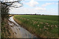
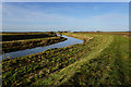
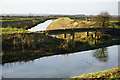
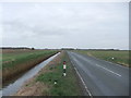
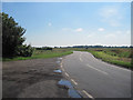
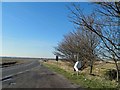
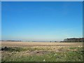
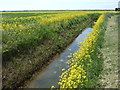

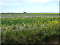
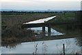
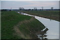
14 photos from this area
Area Information
Key information about the DN36 5TL including its size, population, and administrative classification.
- Area Type
- Postcode
- Area Size
- 1.1 km²
- Population
- 2265
- Population Density
- 38 people/km²
House Prices in DN36 5TL
16
Properties
£141,750
Average Sold Price
£80,000
Lowest Price
£320,000
Highest Price
Showing 16 properties
| Address | Type | Beds | Baths | Last Sale Price | Last Sale Date | |
|---|---|---|---|---|---|---|
| Macanah, Duckthorpe Lane, Marshchapel, DN36 5TL | Bungalow | 4 | 3 | £320,000 | Nov 2017 | |
| Wilmin, Duckthorpe Lane, Marshchapel, DN36 5TL | Bungalow | 3 | 1 | £112,000 | Oct 2016 | |
| Casa Mia, Duckthorpe Lane, Marshchapel, DN36 5TL | Bungalow | - | - | £80,000 | Sep 2016 | |
| Thornfields, Duckthorpe Lane, Marshchapel, DN36 5TL | Bungalow | - | - | £190,000 | Jul 2010 | |
| Rossella, Duckthorpe Lane, Marshchapel, DN36 5TL | Detached | - | - | £130,000 | Nov 2006 | |
| Karmelian, Duckthorpe Lane, Marshchapel, DN36 5TL | Detached | - | - | £115,000 | Aug 2001 | |
| Hacienda, Duckthorpe Lane, Marshchapel, DN36 5TL | Detached | 4 | 1 | £82,000 | Feb 1999 | |
| Westlands Water, Duckthorpe Lane, Marshchapel, DN36 5TL | Detached | 3 | 1 | £105,000 | Nov 1997 | |
| White Cottage, Duckthorpe Lane, Marshchapel, DN36 5TL | Detached | 2 | - | - | - | |
| The Caravan, Duckthorpe Lane, Marshchapel, DN36 5TL | Mobile Home | - | - | - | - |
Page 1 of 2
Energy Efficiency in DN36 5TL
Amenities
Schools
| Rank | School | Type | Entry gender | Ages |
|---|
Explore more schools in this area
Go to Schools tabDemographics
Household Size
Two person
most common
Accommodation Type
Houses
most common
Tenure
82
majority
Ethnic Group
White
most common
Religion
N/A
most common
Household Composition
N/A
most common
Age
47
median
Adults (30-64 years)
most common
Household Deprivation
N/A
with no deprivation
NS-SEC
31
in Lower managerial occupations
Explore more demographic insights in this area
Go to Demographics tabPlanning
Planning Constraints
- Flood RiskPremium
- Ramsar Wetland SitesPremium
- Area of Outstanding Natural BeautyPremium
- Protected Nature ReservePremium
- Protected WoodlandPremium