Area Overview for DN36 5LT
Photos of DN36 5LT
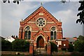
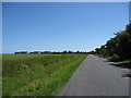
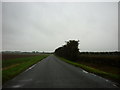
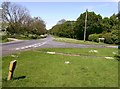
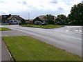
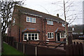
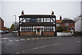
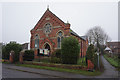
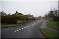
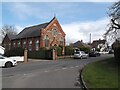

43 photos from this area
Area Information
Key information about the DN36 5LT including its size, population, and administrative classification.
- Area Type
- Postcode
- Area Size
- 3046 m²
- Population
- 1219
- Population Density
- 832 people/km²
House Prices in DN36 5LT
7
Properties
£113,738
Average Sold Price
£84,950
Lowest Price
£150,000
Highest Price
Showing 7 properties
| Address | Type | Beds | Baths | Last Sale Price | Last Sale Date | |
|---|---|---|---|---|---|---|
| Fairholme, Holton Road, Tetney, DN36 5LT | house | - | - | £90,000 | Jul 2011 | |
| Torry, Holton Road, Tetney, DN36 5LT | Bungalow | 2 | 1 | £130,000 | Mar 2008 | |
| Cumbrae, Holton Road, Tetney, DN36 5LT | Detached | - | - | £150,000 | Oct 2007 | |
| Linden House, Holton Road, Tetney, DN36 5LT | Semi-detached | - | - | £84,950 | Jul 2003 | |
| Willowside, Holton Road, Tetney, DN36 5LT | Detached | - | - | - | - | |
| Ferndale, Holton Road, Tetney, DN36 5LT | Semi-detached | - | - | - | - | |
| Pear Tree Cottage, Holton Road, Tetney, DN36 5LT | Detached | - | - | - | - |
Energy Efficiency in DN36 5LT
Amenities
Schools
| Rank | School | Type | Entry gender | Ages |
|---|
Explore more schools in this area
Go to Schools tabDemographics
Household Size
Two person
most common
Accommodation Type
Houses
most common
Tenure
81
majority
Ethnic Group
White
most common
Religion
N/A
most common
Household Composition
N/A
most common
Age
47
median
Adults (30-64 years)
most common
Household Deprivation
N/A
with no deprivation
NS-SEC
33
in Lower managerial occupations
Explore more demographic insights in this area
Go to Demographics tabPlanning
Planning Constraints
- Flood RiskPremium
- Ramsar Wetland SitesPremium
- Area of Outstanding Natural BeautyPremium
- Protected Nature ReservePremium
- Protected WoodlandPremium