Area Overview for DN36 5EA
Photos of DN36 5EA
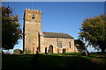
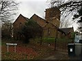
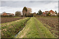
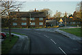
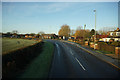
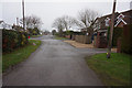
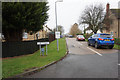
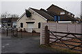
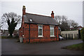
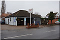
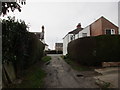
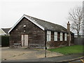
48 photos from this area
Area Information
Key information about the DN36 5EA including its size, population, and administrative classification.
- Area Type
- Postcode
- Area Size
- 1.0 hectares
- Population
- 1149
- Population Density
- 366 people/km²
House Prices in DN36 5EA
20
Properties
£127,847
Average Sold Price
£55,000
Lowest Price
£206,000
Highest Price
Showing 20 properties
| Address | Type | Beds | Baths | Last Sale Price | Last Sale Date | |
|---|---|---|---|---|---|---|
| 37 Louth Road, Holton Le Clay, DN36 5EA | Semi-detached | 3 | 2 | £193,000 | Dec 2022 | |
| 45 Louth Road, Holton Le Clay, DN36 5EA | Detached | - | - | £100,000 | Nov 2022 | |
| 51 Louth Road, Holton Le Clay, DN36 5EA | Retail | 4 | 2 | £180,000 | Jun 2022 | |
| 55 Louth Road, Holton Le Clay, DN36 5EA | Bungalow | 2 | 1 | £179,000 | Mar 2022 | |
| 59 Louth Road, Holton Le Clay, DN36 5EA | Bungalow | 3 | 1 | £182,500 | Jun 2021 | |
| 57 Louth Road, Holton Le Clay, DN36 5EA | Bungalow | 3 | - | £206,000 | Sep 2020 | |
| 35 Louth Road, Holton Le Clay, DN36 5EA | Semi-detached | 3 | 1 | £140,000 | Feb 2019 | |
| 61 Louth Road, Holton Le Clay, DN36 5EA | Semi-detached | 2 | 1 | £115,000 | Jun 2018 | |
| 31 Louth Road, Holton Le Clay, DN36 5EA | Semi-detached | 3 | - | £130,000 | Jun 2017 | |
| 33 Louth Road, Holton Le Clay, DN36 5EA | Semi-detached | 3 | 1 | £104,000 | Aug 2016 |
Page 1 of 2
Energy Efficiency in DN36 5EA
Amenities
Schools
| Rank | School | Type | Entry gender | Ages |
|---|
Explore more schools in this area
Go to Schools tabDemographics
Household Size
Two person
most common
Accommodation Type
Houses
most common
Tenure
75
majority
Ethnic Group
White
most common
Religion
N/A
most common
Household Composition
N/A
most common
Age
47
median
Adults (30-64 years)
most common
Household Deprivation
N/A
with no deprivation
NS-SEC
27
in Lower managerial occupations
Explore more demographic insights in this area
Go to Demographics tabPlanning
Planning Constraints
- Flood RiskPremium
- Ramsar Wetland SitesPremium
- Area of Outstanding Natural BeautyPremium
- Protected Nature ReservePremium
- Protected WoodlandPremium