Area Overview for DN22 9LL
Photos of DN22 9LL
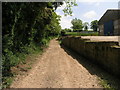
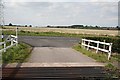
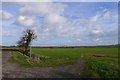


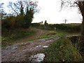
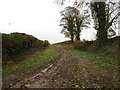
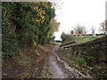
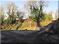
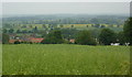
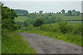
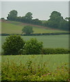
23 photos from this area
Area Information
Key information about the DN22 9LL including its size, population, and administrative classification.
- Area Type
- Postcode
- Area Size
- 65.9 hectares
- Population
- 1824
- Population Density
- 55 people/km²
House Prices in DN22 9LL
26
Properties
£328,970
Average Sold Price
£130,000
Lowest Price
£480,000
Highest Price
Showing 26 properties
| Address | Type | Beds | Baths | Last Sale Price | Last Sale Date | |
|---|---|---|---|---|---|---|
| Rosedene, 26 Main Street, Hayton, DN22 9LL | Bungalow | 3 | 1 | £382,000 | Nov 2024 | |
| Windrush, 36 Main Street, Hayton, DN22 9LL | Bungalow | 3 | 1 | £255,000 | Jul 2024 | |
| Durham House, 44 Main Street, Hayton, DN22 9LL | Detached | 4 | 2 | £420,000 | Oct 2020 | |
| Chapel House, 35 Main Street, Hayton, DN22 9LL | Detached | 3 | 2 | £277,500 | Jan 2020 | |
| The Croft, 24 Main Street, Hayton, DN22 9LL | Bungalow | 3 | 1 | £290,000 | Sep 2019 | |
| Chapters, 38 Main Street, Hayton, DN22 9LL | Bungalow | 3 | 1 | £270,000 | Sep 2019 | |
| Briar Patch, 16 Main Street, Hayton, DN22 9LL | Detached | 4 | 3 | £425,000 | Jun 2019 | |
| Shangri La, 4 Main Street, Hayton, DN22 9LL | Bungalow | 4 | 2 | £462,500 | Apr 2018 | |
| Victoria House, 20 Main Street, Hayton, DN22 9LL | Detached | 4 | 2 | £399,995 | Feb 2018 | |
| Hallgarth House, 22 Main Street, Hayton, DN22 9LL | Detached | 4 | 2 | £480,000 | Mar 2016 |
Page 1 of 3
Energy Efficiency in DN22 9LL
Amenities
Schools
| Rank | School | Type | Entry gender | Ages |
|---|
Explore more schools in this area
Go to Schools tabDemographics
Household Size
Two person
most common
Accommodation Type
Houses
most common
Tenure
83
majority
Ethnic Group
White
most common
Religion
N/A
most common
Household Composition
N/A
most common
Age
47
median
Adults (30-64 years)
most common
Household Deprivation
N/A
with no deprivation
NS-SEC
39
in Lower managerial occupations
Explore more demographic insights in this area
Go to Demographics tabPlanning
Planning Constraints
- Flood RiskPremium
- Ramsar Wetland SitesPremium
- Area of Outstanding Natural BeautyPremium
- Protected Nature ReservePremium
- Protected WoodlandPremium