Area Overview for DN22 8RB
Photos of DN22 8RB
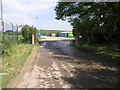
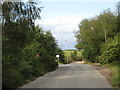
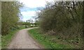
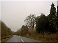
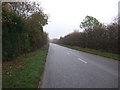
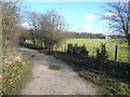
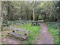
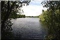
10 photos from this area
Area Information
Key information about the DN22 8RB including its size, population, and administrative classification.
- Area Type
- Postcode
- Area Size
- 2.6 km²
- Population
- 2898
- Population Density
- 58 people/km²
House Prices in DN22 8RB
24
Properties
£168,583
Average Sold Price
£41,999
Lowest Price
£250,000
Highest Price
Showing 24 properties
| Address | Type | Beds | Baths | Last Sale Price | Last Sale Date | |
|---|---|---|---|---|---|---|
| 19 Daneshill Road, Lound, DN22 8RB | Bungalow | - | - | £178,000 | Jul 2021 | |
| 25 Daneshill Road, Lound, DN22 8RB | Bungalow | 4 | 1 | £237,500 | Aug 2019 | |
| 29 Daneshill Road, Lound, DN22 8RB | Bungalow | 5 | 1 | £175,000 | Jul 2016 | |
| 17 Daneshill Road, Lound, DN22 8RB | Bungalow | 5 | 2 | £250,000 | Jul 2014 | |
| 23 Daneshill Road, Lound, DN22 8RB | Bungalow | - | - | £129,000 | May 2013 | |
| 27 Daneshill Road, Lound, DN22 8RB | Detached | - | - | £41,999 | Feb 1997 | |
| 21 Daneshill Road, Lound, DN22 8RB | Semi-detached | - | - | - | - | |
| 4 Daneshill Road, Lound, DN22 8RB | Semi-detached | - | - | - | - | |
| Overhead Line, Daneshill Road, Lound, DN22 8RB | commercial | - | - | - | - | |
| The Caravan, Daneshill Piggeries, Daneshill Road, Lound, DN22 8RB | Mobile Home | - | - | - | - |
Page 1 of 3
Energy Efficiency in DN22 8RB
Amenities
Schools
| Rank | School | Type | Entry gender | Ages |
|---|
Explore more schools in this area
Go to Schools tabDemographics
Household Size
Two person
most common
Accommodation Type
Houses
most common
Tenure
78
majority
Ethnic Group
White
most common
Religion
N/A
most common
Household Composition
N/A
most common
Age
47
median
Adults (30-64 years)
most common
Household Deprivation
N/A
with no deprivation
NS-SEC
29
in Lower managerial occupations
Explore more demographic insights in this area
Go to Demographics tabPlanning
Planning Constraints
- Flood RiskPremium
- Ramsar Wetland SitesPremium
- Area of Outstanding Natural BeautyPremium
- Protected Nature ReservePremium
- Protected WoodlandPremium