Area Overview for DN22 8LL
Photos of DN22 8LL

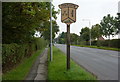
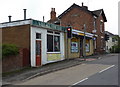
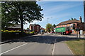
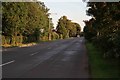
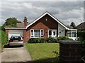
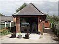
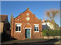
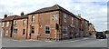
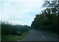
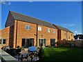
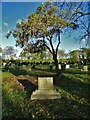
29 photos from this area
Area Information
Key information about the DN22 8LL including its size, population, and administrative classification.
- Area Type
- Postcode
- Area Size
- 2.1 hectares
- Population
- 2404
- Population Density
- 114 people/km²
House Prices in DN22 8LL
16
Properties
£207,318
Average Sold Price
£61,000
Lowest Price
£355,000
Highest Price
Showing 16 properties
| Address | Type | Beds | Baths | Last Sale Price | Last Sale Date | |
|---|---|---|---|---|---|---|
| Bourne Villas, Station Road, Ranskill, DN22 8LL | Semi-detached | 4 | 1 | £275,000 | Jan 2025 | |
| Fair View, Station Road, Ranskill, DN22 8LL | Land | - | - | £355,000 | Mar 2021 | |
| Yew House, Station Road, Ranskill, DN22 8LL | Detached | 6 | - | £275,000 | Jan 2021 | |
| St Helena, Station Road, Ranskill, DN22 8LL | Bungalow | 4 | 2 | £220,000 | Sep 2020 | |
| Orchard Cottage, Station Road, Ranskill, DN22 8LL | Semi-detached | 4 | 1 | £180,000 | Sep 2017 | |
| Appledore, Station Road, Ranskill, DN22 8LL | Land | 4 | - | £136,500 | Nov 2013 | |
| Oak House, Station Road, Ranskill, DN22 8LL | Detached | 5 | 4 | £234,999 | Dec 2011 | |
| Beech House, Station Road, Ranskill, DN22 8LL | Detached | 4 | 2 | £175,000 | Nov 2008 | |
| Headland House, Station Road, Ranskill, DN22 8LL | Detached | - | - | £270,000 | Oct 2003 | |
| Bushel Cottage, Station Road, Ranskill, DN22 8LL | Detached | - | - | £98,000 | Jul 2003 |
Page 1 of 2
Energy Efficiency in DN22 8LL
Amenities
Schools
| Rank | School | Type | Entry gender | Ages |
|---|
Explore more schools in this area
Go to Schools tabDemographics
Household Size
Two person
most common
Accommodation Type
Houses
most common
Tenure
78
majority
Ethnic Group
White
most common
Religion
N/A
most common
Household Composition
N/A
most common
Age
47
median
Adults (30-64 years)
most common
Household Deprivation
N/A
with no deprivation
NS-SEC
38
in Lower managerial occupations
Explore more demographic insights in this area
Go to Demographics tabPlanning
Planning Constraints
- Flood RiskPremium
- Ramsar Wetland SitesPremium
- Area of Outstanding Natural BeautyPremium
- Protected Nature ReservePremium
- Protected WoodlandPremium