Area Overview for DN22 7EH
Photos of DN22 7EH

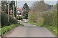
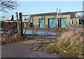
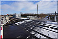
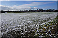
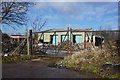
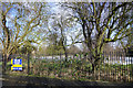
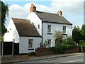
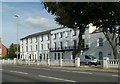
52 photos from this area
Area Information
Key information about the DN22 7EH including its size, population, and administrative classification.
- Area Type
- Postcode
- Area Size
- 1.3 hectares
- Population
- 1329
- Population Density
- 2044 people/km²
House Prices in DN22 7EH
64
Properties
£86,876
Average Sold Price
£33,750
Lowest Price
£152,500
Highest Price
Showing 64 properties
| Address | Type | Beds | Baths | Last Sale Price | Last Sale Date | |
|---|---|---|---|---|---|---|
| 49 Wharton Street, Retford, DN22 7EH | Terraced | 2 | 1 | £90,000 | Jul 2024 | |
| 14 Wharton Street, Retford, DN22 7EH | Terraced | 3 | 1 | £107,000 | Mar 2024 | |
| 43 Wharton Street, Retford, DN22 7EH | Terraced | 2 | 1 | £110,000 | Dec 2023 | |
| 6 Wharton Street, Retford, DN22 7EH | Terraced | 2 | 1 | £125,000 | Oct 2023 | |
| 62 Wharton Street, Retford, DN22 7EH | Terraced | 3 | 1 | £120,500 | May 2023 | |
| 55 Wharton Street, Retford, DN22 7EH | house | 3 | 1 | £152,500 | May 2023 | |
| 82 Wharton Street, Retford, DN22 7EH | Detached | 2 | 1 | £119,500 | Apr 2023 | |
| 1 Wharton Street, Retford, DN22 7EH | Terraced | 3 | 1 | £125,000 | Jan 2023 | |
| 34 Wharton Street, Retford, DN22 7EH | house | 2 | 1 | £120,500 | Aug 2022 | |
| 42 Wharton Street, Retford, DN22 7EH | house | - | - | £67,500 | Nov 2021 |
Page 1 of 7
Energy Efficiency in DN22 7EH
Amenities
Schools
| Rank | School | Type | Entry gender | Ages |
|---|
Explore more schools in this area
Go to Schools tabDemographics
Household Size
One person
most common
Accommodation Type
Houses
most common
Tenure
66
majority
Ethnic Group
White
most common
Religion
N/A
most common
Household Composition
N/A
most common
Age
47
median
Adults (30-64 years)
most common
Household Deprivation
N/A
with no deprivation
NS-SEC
29
in Lower managerial occupations
Explore more demographic insights in this area
Go to Demographics tabPlanning
Planning Constraints
- Flood RiskPremium
- Ramsar Wetland SitesPremium
- Area of Outstanding Natural BeautyPremium
- Protected Nature ReservePremium
- Protected WoodlandPremium