Area Overview for DN22 6SE
Photos of DN22 6SE
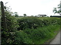
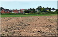
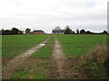
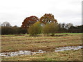
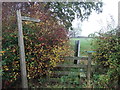
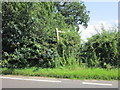
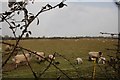
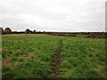
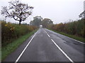
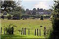
12 photos from this area
Area Information
Key information about the DN22 6SE including its size, population, and administrative classification.
- Area Type
- Postcode
- Area Size
- 1.2 hectares
- Population
- 1317
- Population Density
- 277 people/km²
House Prices in DN22 6SE
22
Properties
£165,813
Average Sold Price
£45,000
Lowest Price
£329,000
Highest Price
Showing 22 properties
| Address | Type | Beds | Baths | Last Sale Price | Last Sale Date | |
|---|---|---|---|---|---|---|
| 33 Bigsby Road, Retford, DN22 6SE | Bungalow | 3 | 1 | £315,000 | Mar 2024 | |
| 94 Bigsby Road, Retford, DN22 6SE | Semi-detached | 3 | 2 | £80,000 | Dec 2023 | |
| 84 Bigsby Road, Retford, DN22 6SE | Retail | 3 | 1 | £198,000 | May 2022 | |
| 88 Bigsby Road, Retford, DN22 6SE | Semi-detached | 3 | 1 | £167,500 | Aug 2020 | |
| 31 Bigsby Road, Retford, DN22 6SE | Bungalow | 2 | 1 | £200,000 | Jan 2020 | |
| 86 Bigsby Road, Retford, DN22 6SE | Semi-detached | 3 | 1 | £130,000 | Jul 2019 | |
| 82 Bigsby Road, Retford, DN22 6SE | house | - | - | £130,000 | Jun 2019 | |
| 92 Bigsby Road, Retford, DN22 6SE | Semi-detached | 3 | 1 | £156,000 | Nov 2017 | |
| 27 Bigsby Road, Retford, DN22 6SE | Bungalow | 2 | 2 | £275,000 | Nov 2016 | |
| 100 Bigsby Road, Retford, DN22 6SE | Semi-detached | - | - | £117,500 | Feb 2012 |
Page 1 of 3
Energy Efficiency in DN22 6SE
Amenities
Schools
| Rank | School | Type | Entry gender | Ages |
|---|
Explore more schools in this area
Go to Schools tabDemographics
Household Size
Two person
most common
Accommodation Type
Houses
most common
Tenure
90
majority
Ethnic Group
White
most common
Religion
N/A
most common
Household Composition
N/A
most common
Age
47
median
Elderly (65+ years)
most common
Household Deprivation
N/A
with no deprivation
NS-SEC
36
in Lower managerial occupations
Explore more demographic insights in this area
Go to Demographics tabPlanning
Planning Constraints
- Flood RiskPremium
- Ramsar Wetland SitesPremium
- Area of Outstanding Natural BeautyPremium
- Protected Nature ReservePremium
- Protected WoodlandPremium