Area Overview for DN22 0RD
Photos of DN22 0RD
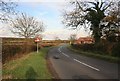
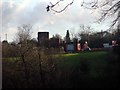
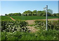
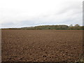
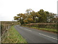


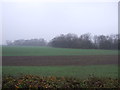
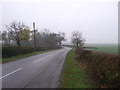
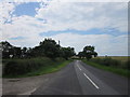

17 photos from this area
Area Information
Key information about the DN22 0RD including its size, population, and administrative classification.
- Area Type
- Postcode
- Area Size
- 4.9 km²
- Population
- 2295
- Population Density
- 53 people/km²
House Prices in DN22 0RD
34
Properties
£390,494
Average Sold Price
£59,500
Lowest Price
£715,000
Highest Price
Showing 34 properties
| Address | Type | Beds | Baths | Last Sale Price | Last Sale Date | |
|---|---|---|---|---|---|---|
| Church Farm, Church Street, Headon, DN22 0RD | house | - | - | £715,000 | Jan 2025 | |
| Clover Close House, Thorpe Street, Headon, DN22 0RD | Detached | 4 | 2 | £575,000 | Dec 2020 | |
| Fields View House, Thorpe Street, Headon, DN22 0RD | Detached | 5 | 2 | £429,950 | Dec 2017 | |
| Greenacres, Yew Tree Road, Headon, DN22 0RD | Detached | 4 | 2 | £365,000 | Nov 2016 | |
| Windycroft, Thorpe Street, Headon, DN22 0RD | Detached | 3 | 1 | £240,000 | Mar 2015 | |
| Firdene, Thorpe Street, Headon, DN22 0RD | house | - | - | £450,000 | Oct 2004 | |
| Heathfield House, Yew Tree Road, Headon, DN22 0RD | Detached | 5 | 3 | £445,000 | Nov 2003 | |
| Old Farm House, Thorpe Street, Headon, DN22 0RD | Detached | - | - | £235,000 | Apr 2002 | |
| Hybank, Thorpe Street, Headon, DN22 0RD | Bungalow | - | - | £59,500 | Nov 1996 | |
| Sutherland, Thorpe Street, Headon, DN22 0RD | Detached | 4 | 2 | - | - |
Page 1 of 4
Energy Efficiency in DN22 0RD
Amenities
Schools
| Rank | School | Type | Entry gender | Ages |
|---|
Explore more schools in this area
Go to Schools tabDemographics
Household Size
Two person
most common
Accommodation Type
Houses
most common
Tenure
80
majority
Ethnic Group
White
most common
Religion
N/A
most common
Household Composition
N/A
most common
Age
47
median
Adults (30-64 years)
most common
Household Deprivation
N/A
with no deprivation
NS-SEC
33
in Lower managerial occupations
Explore more demographic insights in this area
Go to Demographics tabPlanning
Planning Constraints
- Flood RiskPremium
- Ramsar Wetland SitesPremium
- Area of Outstanding Natural BeautyPremium
- Protected Nature ReservePremium
- Protected WoodlandPremium